File:Roma OSM History 607.gif
Jump to navigation
Jump to search

Size of this preview: 794 × 599 pixels. Other resolutions: 318 × 240 pixels | 636 × 480 pixels | 1,017 × 768 pixels | 1,280 × 966 pixels | 1,600 × 1,208 pixels.
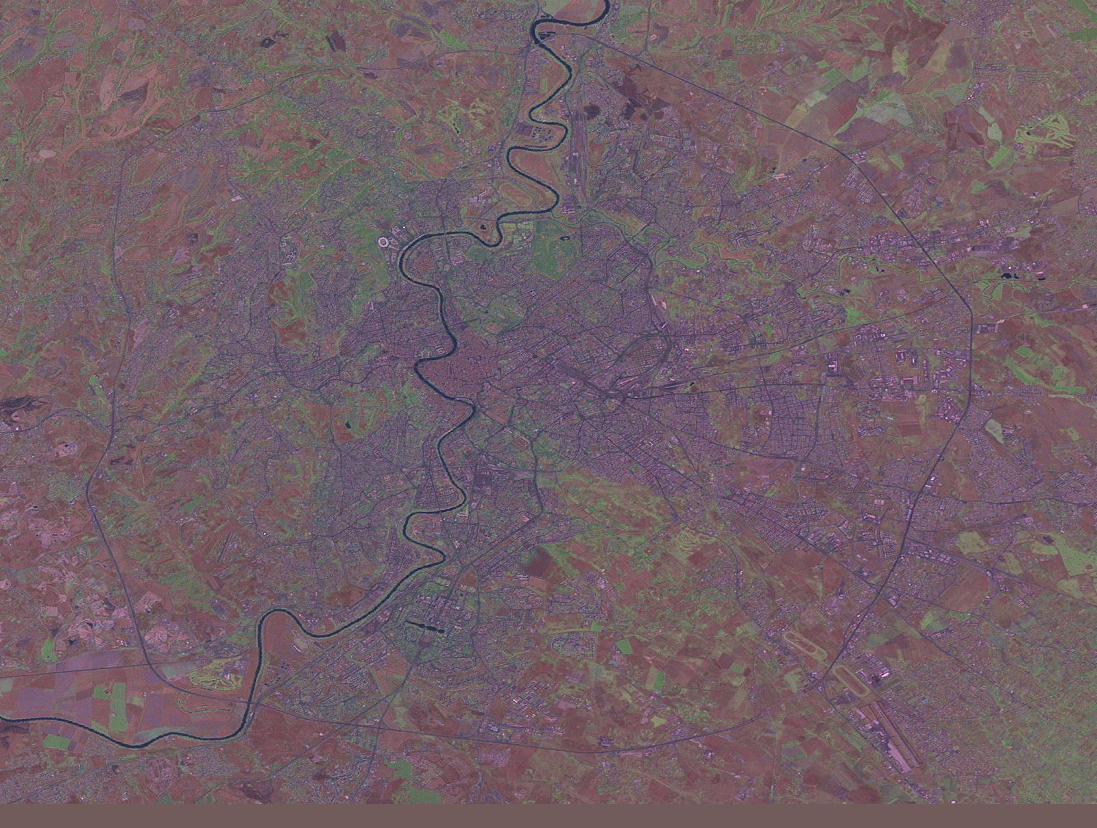
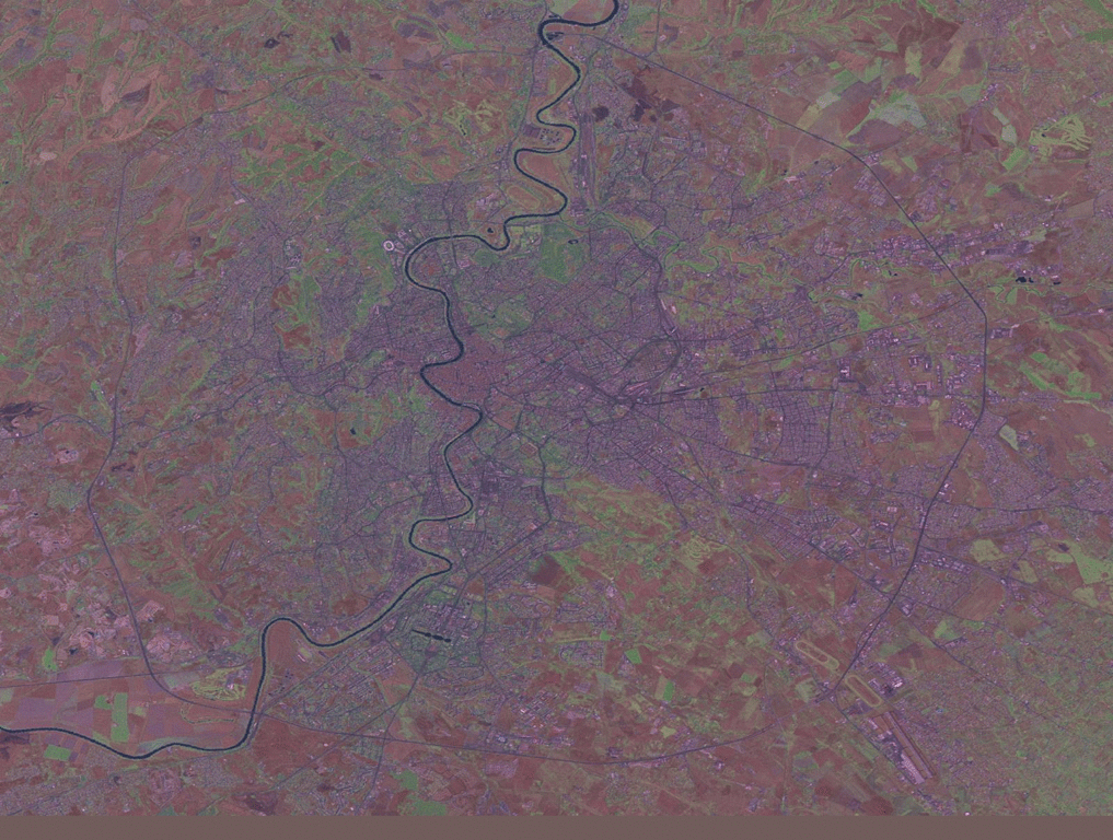
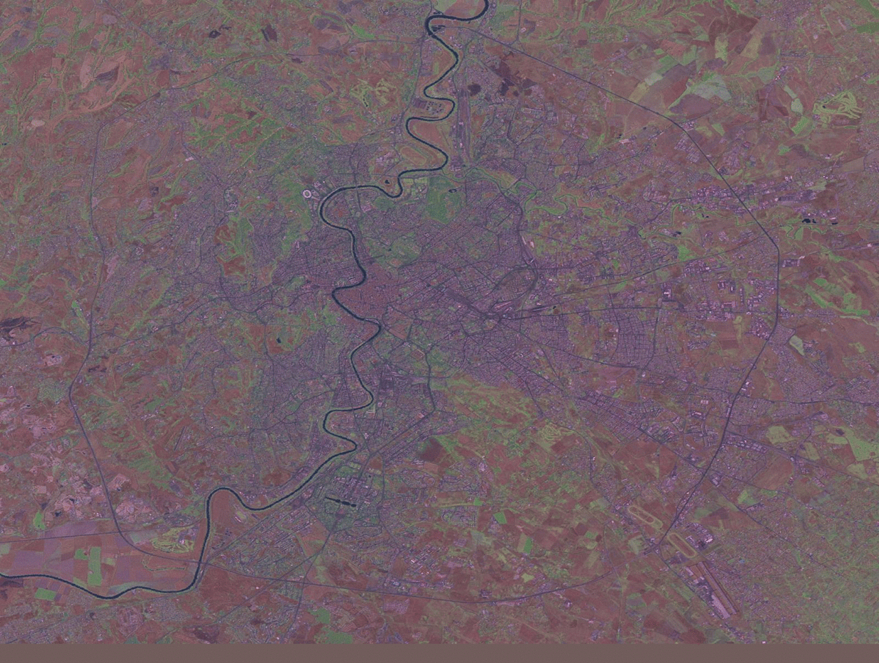
Original file (1,600 × 1,208 pixels, file size: 1.47 MB, MIME type: image/gif, looped, 38 frames, 38 s)
Note: Due to technical limitations, thumbnails of high resolution GIF images such as this one will not be animated.
A short animation of the development of OSM in Rome, Italy, from 07/2007 to 04/2008. You see one dot for each OSM node and for each worldfile one picture in one second.
Imagery is likely Landsat, see https://wiki.openstreetmap.org/w/index.php?title=User_talk:Dieterdreist&curid=12713&diff=2363909&oldid=2363714
File history
Click on a date/time to view the file as it appeared at that time.
| Date/Time | Thumbnail | Dimensions | User | Comment | |
|---|---|---|---|---|---|
| current | 16:45, 18 April 2008 | | 1,600 × 1,208 (1.47 MB) | Dieterdreist (talk | contribs) | A short animation of the development of OSM in Rome, Italy, from 07/2007 to 04/2008. You see one dot for each OSM node and for each worldfile one picture in one second. |
You cannot overwrite this file.
File usage
There are no pages that use this file.