File:Roombeek compleet.png
Jump to navigation
Jump to search


Size of this preview: 550 × 600 pixels. Other resolutions: 220 × 240 pixels | 440 × 480 pixels | 704 × 768 pixels | 939 × 1,024 pixels | 1,500 × 1,636 pixels.
Original file (1,500 × 1,636 pixels, file size: 1.3 MB, MIME type: image/png)
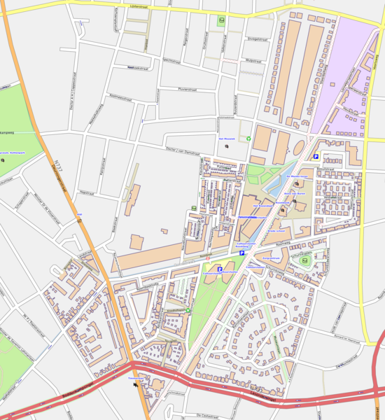
Overview of Roombeek with the houses of nieuwekaart.nl projected. This is a future map! Not all houses have been built yet!
Sources OSM and De Nieuwe Kaart van Nederland, Nirov, Den Haag
Licensing
![]()
Contains map data © OpenStreetMap contributors, made available under the terms of the Creative Commons Attribution-ShareAlike 2.0 (CC-BY-SA-2.0).
File history
Click on a date/time to view the file as it appeared at that time.
| Date/Time | Thumbnail | Dimensions | User | Comment | |
|---|---|---|---|---|---|
| current | 13:05, 20 January 2009 | | 1,500 × 1,636 (1.3 MB) | Berteun (talk | contribs) | Overview of Roombeek with the houses of nieuwekaart.nl projected. This is a future map! Not all houses have been built yet! Sources OSM and De Nieuwe Kaart van Nederland, Nirov, Den Haag Category:Enschede |
You cannot overwrite this file.
File usage
The following page uses this file: