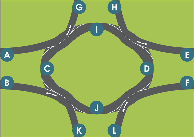
File:Rotary Maps 11 aaronsta.png
Jump to navigation
Jump to search

Size of this preview: 800 × 566 pixels. Other resolutions: 320 × 226 pixels | 640 × 453 pixels | 1,024 × 724 pixels | 1,280 × 905 pixels | 2,560 × 1,810 pixels | 11,225 × 7,937 pixels.
Original file (11,225 × 7,937 pixels, file size: 2.07 MB, MIME type: image/png)
Summary
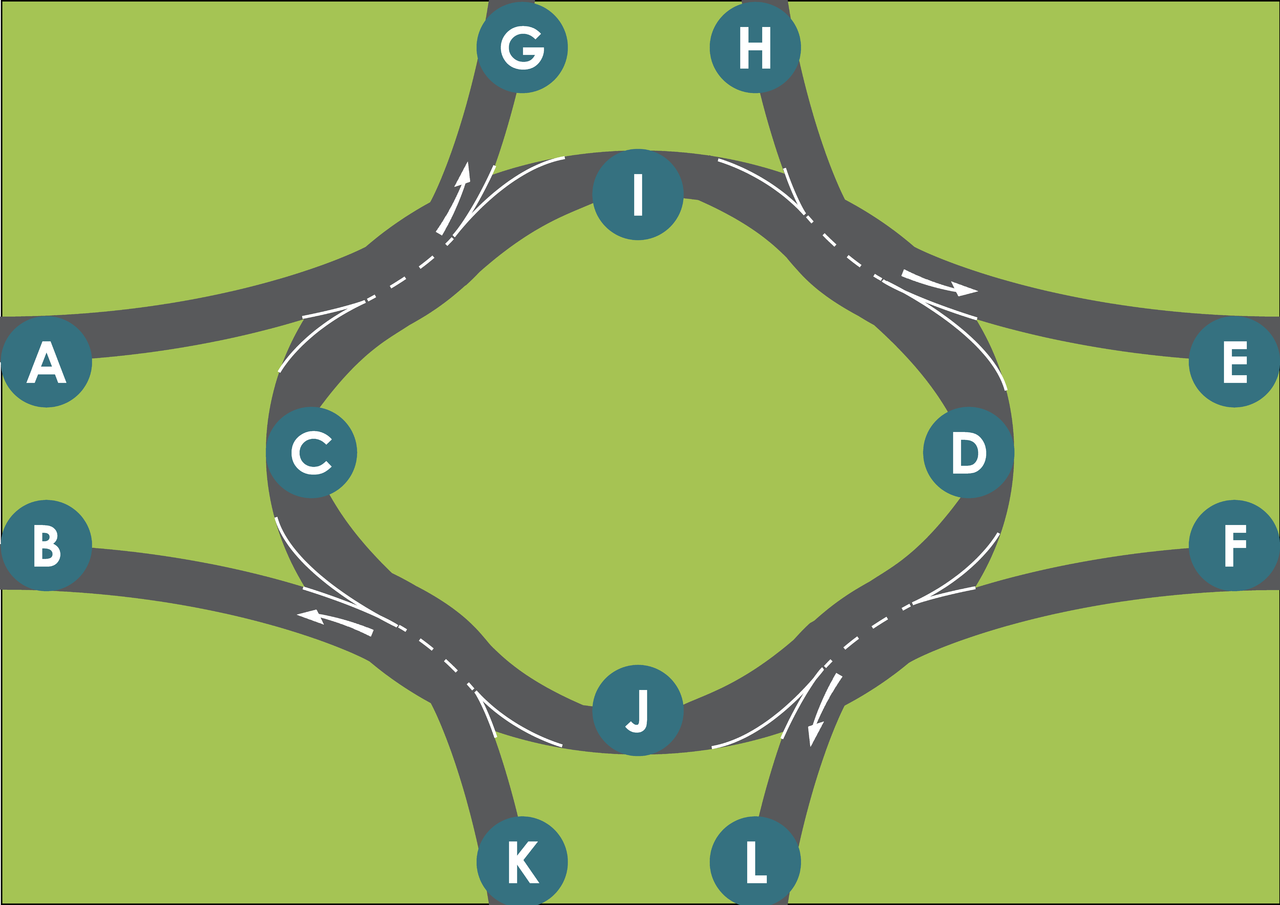
Title: Rotary Maps 11
Author: aaronsta
Format: Portable Network Graphic Computer File
All items within figure are self produced. Signs—STOP, GIVE WAY—are self produced, and derivitaves of 'AS 1742.1:2014'. Fonts used are open-source and non-proprietary.
Figure is licensed as at the 28th of November 2017, as per webpage at: https://creativecommons.org/licenses/by-sa/3.0/legalcode.
Failure to adhere to the licensing restrictions can result in legal prosecution.
Licensing
![]()
![]()
![]()
This work is licensed under the Creative Commons Attribution-ShareAlike 3.0 License.
Attribution: aaronsta
Attribution: aaronsta
File history
Click on a date/time to view the file as it appeared at that time.
| Date/Time | Thumbnail | Dimensions | User | Comment | |
|---|---|---|---|---|---|
| current | 15:42, 29 November 2017 | | 11,225 × 7,937 (2.07 MB) | Aaronsta (talk | contribs) | Title: Rotary Maps 11 Author: aaronsta Format: Portable Network Graphic Computer File All items within figure are self produced. Signs—STOP, GIVE WAY—are self produced, and derivitaves of 'AS 1742.1:2014'. Fonts used are open-source and non-propri... |
You cannot overwrite this file.
File usage
The following 3 pages use this file: