File:Rozc OL276 slozeny.jpg
Jump to navigation
Jump to search
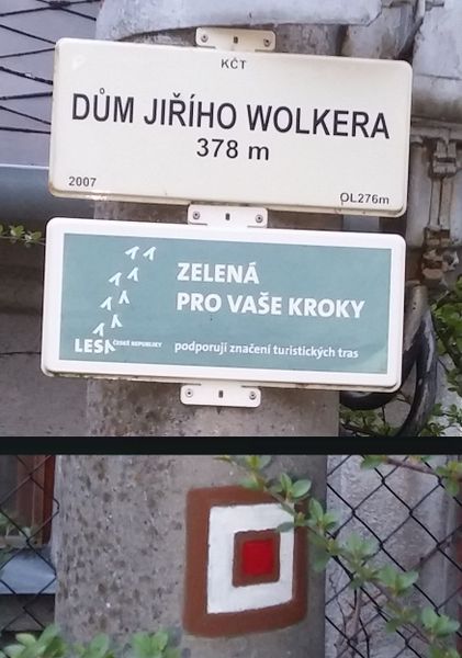
Size of this preview: 421 × 600 pixels. Other resolutions: 168 × 240 pixels | 337 × 480 pixels | 876 × 1,248 pixels.
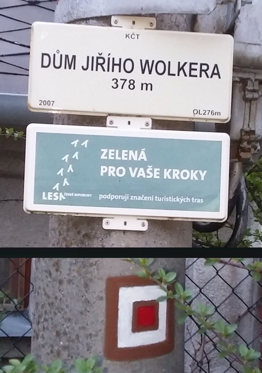
Original file (876 × 1,248 pixels, file size: 170 KB, MIME type: image/jpeg)
Vytvoření detailnější fotografie "zkrácením" sloupu. Značka je v reálu ca 1,5 m pod tabulkami. (Free SW IrfanView)
File history
Click on a date/time to view the file as it appeared at that time.
| Date/Time | Thumbnail | Dimensions | User | Comment | |
|---|---|---|---|---|---|
| current | 20:36, 27 June 2016 | | 876 × 1,248 (170 KB) | Vop (talk | contribs) | Vytvoření detailnější fotografie "zkrácením" sloupu. Značka je v reálu ca 1,5 m pod tabulkami. |
You cannot overwrite this file.
File usage
The following 2 pages use this file: