File:Ru Bridge mapping 8.png
Jump to navigation
Jump to search


Size of this preview: 792 × 600 pixels. Other resolutions: 317 × 240 pixels | 634 × 480 pixels | 1,014 × 768 pixels | 1,046 × 792 pixels.
Original file (1,046 × 792 pixels, file size: 596 KB, MIME type: image/png)
Summary
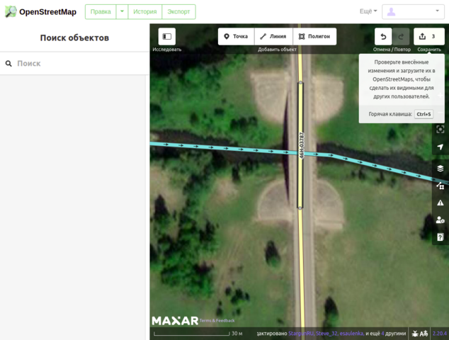
| Description | Screenshots from iD explaining how to mark bridges on maps |
|---|---|
| Author | Grass-snake |
| Source | Photo taken by myself |
| Date | 2022-05-20 |
Licensing
ISC
Screenshot of iD editor. It may contain different content with different licensing.
The iD editor software is published under ISC License – Copyright iD Contributors.
The iD editor software is published under ISC License – Copyright iD Contributors.
Permission to use, copy, modify, and/or distribute this software for any purpose with or without fee is hereby granted, provided that the above copyright notice and this permission notice appear in all copies.
THE SOFTWARE IS PROVIDED "AS IS" AND THE AUTHOR DISCLAIMS ALL WARRANTIES WITH REGARD TO THIS SOFTWARE INCLUDING ALL IMPLIED WARRANTIES OF MERCHANTABILITY AND FITNESS. IN NO EVENT SHALL THE AUTHOR BE LIABLE FOR ANY SPECIAL, DIRECT, INDIRECT, OR CONSEQUENTIAL DAMAGES OR ANY DAMAGES WHATSOEVER RESULTING FROM LOSS OF USE, DATA OR PROFITS, WHETHER IN AN ACTION OF CONTRACT, NEGLIGENCE OR OTHER TORTIOUS ACTION, ARISING OUT OF OR IN CONNECTION WITH THE USE OR PERFORMANCE OF THIS SOFTWARE.![]()
![]()
This image is composed entirely, or almost entirely, of Maxar aerial imagery.
Maxar imagery is not open licensed, but is generously made available to the OpenStreetMap project for deriving open licensed map data. This upload is not certain to covered by permission described at Maxar ("you may only use our imagery to trace, and validate edits that must be contributed back to OSM. You cannot download our imagery or use our imagery for any other purpose.".) Maybe this use can fit under "validate edits"?
This image is a relatively minor extract of the (worldwide) Maxar imagery, used for illustrative purposes on the OpenStreetMap wiki, to help document ways of using and interpreting the imagery in the OpenStreetMap mapping process.
This image is a relatively minor extract of the (worldwide) Maxar imagery, used for illustrative purposes on the OpenStreetMap wiki, to help document ways of using and interpreting the imagery in the OpenStreetMap mapping process.
File history
Click on a date/time to view the file as it appeared at that time.
| Date/Time | Thumbnail | Dimensions | User | Comment | |
|---|---|---|---|---|---|
| current | 06:40, 31 May 2022 | | 1,046 × 792 (596 KB) | Grass-snake (talk | contribs) | {{Information | description=Screenshots from iD explaining how to mark bridges on maps | source=Photo taken by myself | date=2022-05-20 | author=Grass-snake | permission= | other_versions= }} |
You cannot overwrite this file.
File usage
The following page uses this file: