File:RunGPS OSM.png
Jump to navigation
Jump to search

No higher resolution available.
RunGPS_OSM.png (120 × 160 pixels, file size: 41 KB, MIME type: image/png)
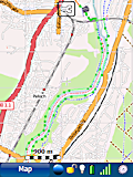
Screenshot of Run.GPS showing a running track along Isar river near Munich
File history
Click on a date/time to view the file as it appeared at that time.
| Date/Time | Thumbnail | Dimensions | User | Comment | |
|---|---|---|---|---|---|
| current | 17:32, 1 May 2008 | | 120 × 160 (41 KB) | Zigbee (talk | contribs) | Screenshot of Run.GPS showing a running track along Isar river near Munich |
| 17:28, 1 May 2008 | 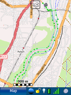 | 240 × 320 (66 KB) | Zigbee (talk | contribs) | Screenshot of Run.GPS showing a running track along Isar river near Munich | |
| 17:24, 1 May 2008 |  | 240 × 320 (66 KB) | Zigbee (talk | contribs) | Screenshot of Run.GPS showing a running track along Isar river near Munich |
You cannot overwrite this file.
File usage
The following 3 pages use this file: