File:SAC SCALE T4 2.jpg
Jump to navigation
Jump to search

Size of this preview: 800 × 522 pixels. Other resolutions: 320 × 209 pixels | 640 × 418 pixels | 1,134 × 740 pixels.
Original file (1,134 × 740 pixels, file size: 1.07 MB, MIME type: image/jpeg)
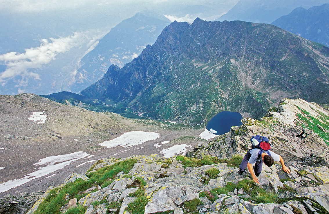
Illustration of the SAC hiking trail classification system (grade T4) contributed by Marco Volken (http://www.marcovolken.ch/ - member of the SAC trail classification working group).
File history
Click on a date/time to view the file as it appeared at that time.
| Date/Time | Thumbnail | Dimensions | User | Comment | |
|---|---|---|---|---|---|
| current | 15:04, 10 May 2009 | | 1,134 × 740 (1.07 MB) | Ukuester (talk | contribs) | Illustration of the SAC hiking trail classification system (grade T4) contributed by Marco Volken (http://www.marcovolken.ch/ - member of the SAC trail classification working group). |
You cannot overwrite this file.
File usage
The following 9 pages use this file: