File:SP-E17a Calle residencial.png
Jump to navigation
Jump to search

Size of this preview: 800 × 538 pixels. Other resolutions: 320 × 215 pixels | 640 × 430 pixels | 1,024 × 688 pixels | 1,250 × 840 pixels.
Original file (1,250 × 840 pixels, file size: 28 KB, MIME type: image/png)
Summary
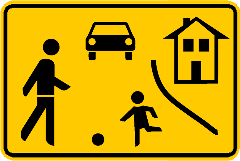
Tablero de Calle residencial Adaptado desde tablero E-17a del acuerdo europeo, derivado de la convención de Viena sobre señalización vial y ajustado al esquema de colores de la normatividad mexicana, suele usarse al interior de algunas unidades habitaciones pero sin sustento jurídico federal a la fecha (2016).
Licensing
![]()
![]()
![]()
This work is licensed under the Creative Commons Attribution-ShareAlike 3.0 License.
Attribution not specified as a parameter! THIS LICENSE ALWAYS REQUIRES ATTRIBUTION! Use {{CC-BY-SA-3.0|Attribution, typically name of author}} See Template:CC-BY-SA-3.0 for full description how this template should be used.
Attribution not specified as a parameter! THIS LICENSE ALWAYS REQUIRES ATTRIBUTION! Use {{CC-BY-SA-3.0|Attribution, typically name of author}} See Template:CC-BY-SA-3.0 for full description how this template should be used.
File history
Click on a date/time to view the file as it appeared at that time.
| Date/Time | Thumbnail | Dimensions | User | Comment | |
|---|---|---|---|---|---|
| current | 00:39, 23 May 2016 | | 1,250 × 840 (28 KB) | Mnts (talk | contribs) | Tablero de Calle residencial Adaptado desde tablero E-17a del acuerdo europeo, derivado de la convención de Viena sobre señalización vial y ajustado al esquema de colores de la normatividad mexicana, suele usarse al interior de algunas unidades habi... |
You cannot overwrite this file.
File usage
The following 4 pages use this file: