File:SSA40588hafen.JPG
Jump to navigation
Jump to search


Size of this preview: 800 × 600 pixels. Other resolutions: 320 × 240 pixels | 640 × 480 pixels | 900 × 675 pixels.
Original file (900 × 675 pixels, file size: 104 KB, MIME type: image/jpeg)
This file and its description are from Wikimedia Commons.
Summary
| Description |
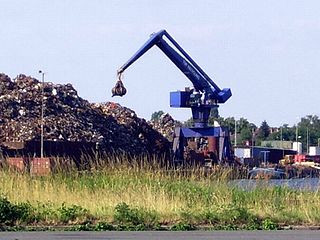
English: The TSR-terminal in the industrial port of Bremen. Deutsch: Schrottumschlag im Hafen E, Bremen Magyar: Ócskavas-rakodó teminál az ipari kikötőben |
| Date | |
| Source | Own work |
| Author | Beroesz |
| Permission (Reusing this file) |
public domain, közkincs |
| Camera location | | View this and other nearby images on: OpenStreetMap |
|---|
Licensing
| I, the copyright holder of this work, release this work into the public domain. This applies worldwide. In some countries this may not be legally possible; if so: I grant anyone the right to use this work for any purpose, without any conditions, unless such conditions are required by law. |
File history
Click on a date/time to view the file as it appeared at that time.
| Date/Time | Thumbnail | Dimensions | User | Comment | |
|---|---|---|---|---|---|
| current | 16:01, 29 August 2015 | | 900 × 675 (104 KB) | wikimediacommons>XenonX3 | color correction |
File usage
The following 2 pages use this file: