File:Schutzhütte Wimbachgries.jpg
Jump to navigation
Jump to search

Size of this preview: 800 × 592 pixels. Other resolutions: 320 × 237 pixels | 640 × 474 pixels | 1,024 × 758 pixels | 1,280 × 948 pixels | 1,521 × 1,126 pixels.
Original file (1,521 × 1,126 pixels, file size: 294 KB, MIME type: image/jpeg)
Summary
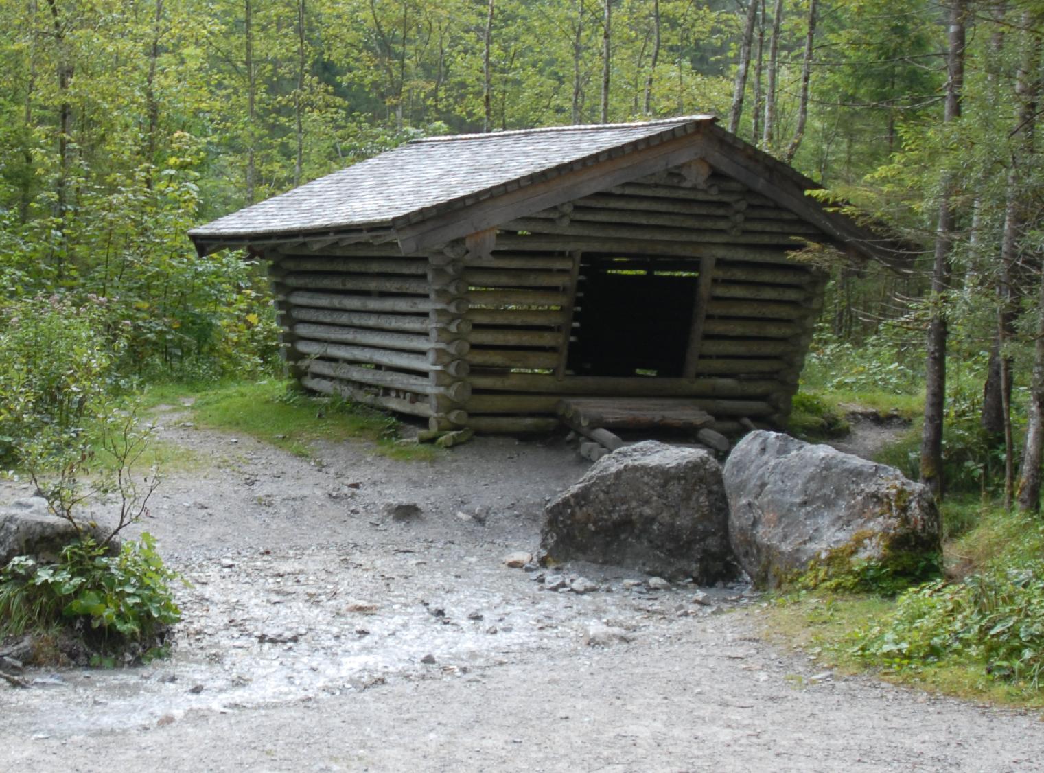
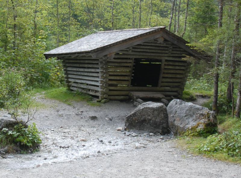
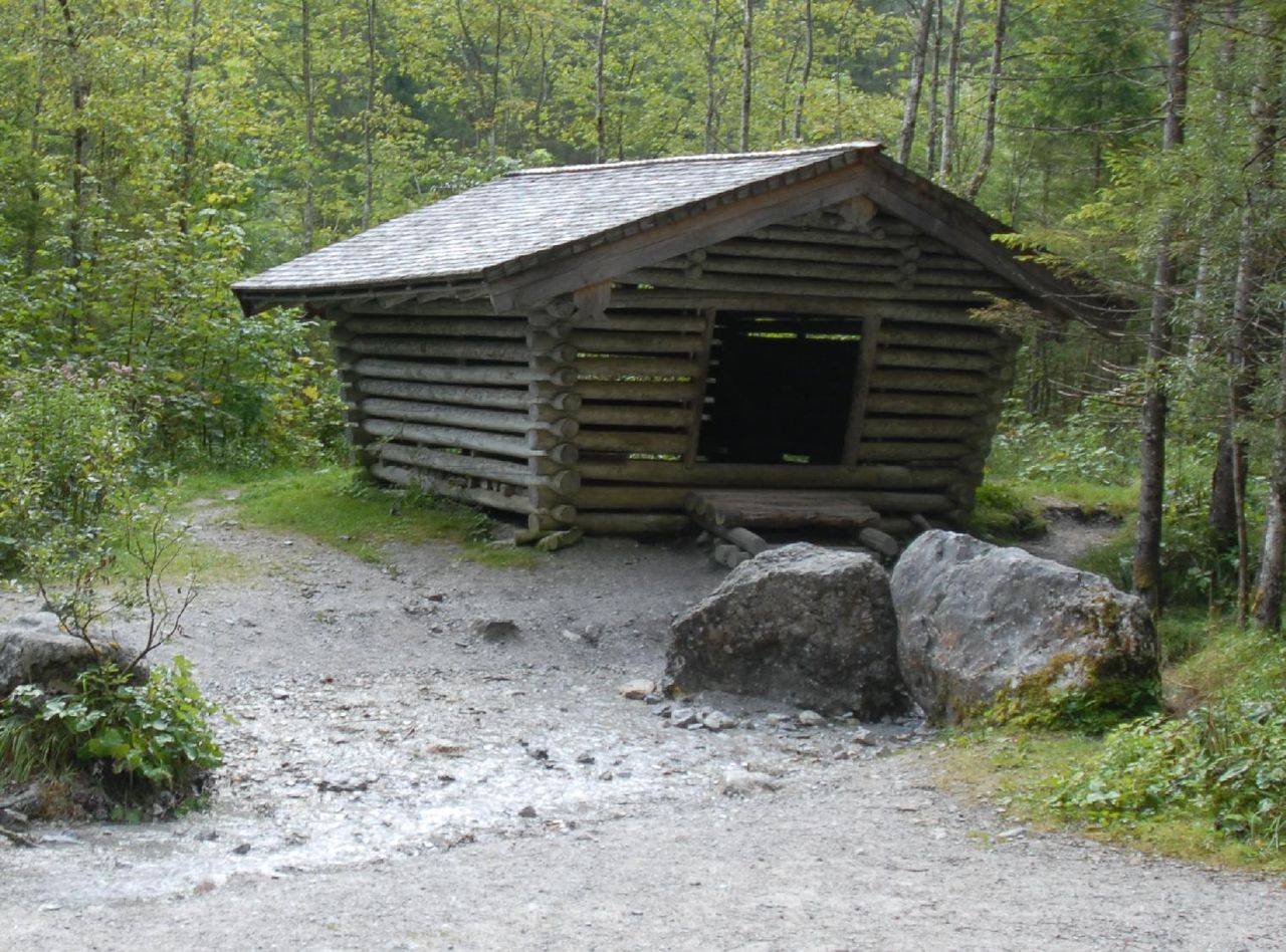
Schutzhütte am Beginn des Wimbachgries (westlich des Watzmannstocks). Eigenes Werk.
Licensing
![]()
This file has been released into the public domain by the copyright holder, its copyright has expired, or it is ineligible for copyright. This applies worldwide.
Please, please use more specific template such as {{PD-self}} / {{PD-creator}} / {{PD-shape}} / {{PD-USGov}} / {{PD-old}} / {{PD-RU-exempt}} ... This template is not making clear why this work is in the public domain.
Please, please use more specific template such as {{PD-self}} / {{PD-creator}} / {{PD-shape}} / {{PD-USGov}} / {{PD-old}} / {{PD-RU-exempt}} ... This template is not making clear why this work is in the public domain.
File history
Click on a date/time to view the file as it appeared at that time.
| Date/Time | Thumbnail | Dimensions | User | Comment | |
|---|---|---|---|---|---|
| current | 13:40, 8 February 2012 | | 1,521 × 1,126 (294 KB) | Netzwolf (talk | contribs) | Schutzhütte am Beginn des Wimbachgries (westlich des Watzmannstocks). Eigenes Werk. |
You cannot overwrite this file.
File usage
There are no pages that use this file.