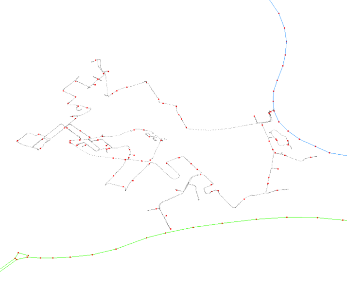
File:Streetwaypoints screenshot.png
Jump to navigation
Jump to search
Size of this preview: 714 × 600 pixels. Other resolutions: 286 × 240 pixels | 571 × 480 pixels | 863 × 725 pixels.
Original file (863 × 725 pixels, file size: 13 KB, MIME type: image/png)
Map of Wellingborough
This map and others like it, were created by OpenStreetmap contributors, and are licensed as Creative Commons CC-BY-SA 2.0 (https://creativecommons.org/licenses/by-sa/2.0/) (see OpenStreetMap licence).
Use {{mapof|PlaceName}} to add this template to your images.
This map and others like it, were created by OpenStreetmap contributors, and are licensed as Creative Commons CC-BY-SA 2.0 (https://creativecommons.org/licenses/by-sa/2.0/) (see OpenStreetMap licence).
Use {{mapof|PlaceName}} to add this template to your images.
File history
Click on a date/time to view the file as it appeared at that time.
| Date/Time | Thumbnail | Dimensions | User | Comment | |
|---|---|---|---|---|---|
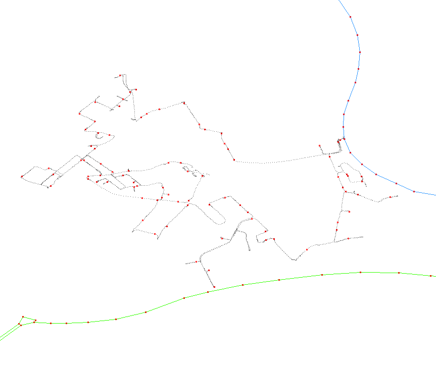
| current | 18:03, 20 January 2012 | | 863 × 725 (13 KB) | User8192 (talk | contribs) | invert background colour for improved visibility of track points |
| 16:11, 28 August 2006 | 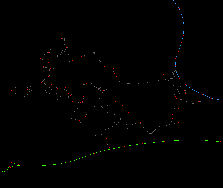 | 863 × 725 (11 KB) | Ojw (talk | contribs) |
You cannot overwrite this file.
File usage
The following 2 pages use this file: