File:SuperTyphoonMangkhut-Ompong animatedtrack 7-12Sept2018.gif
Jump to navigation
Jump to search


Size of this preview: 800 × 384 pixels. Other resolutions: 320 × 153 pixels | 826 × 396 pixels.
Original file (826 × 396 pixels, file size: 11.11 MB, MIME type: image/gif, looped, 135 frames, 22 s)
Note: Due to technical limitations, thumbnails of high resolution GIF images such as this one will not be animated.
This file and its description are from Wikimedia Commons.
Summary
| Description |
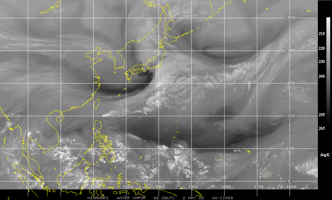
English: Typhoon Mangkhut (Ompong), as seen from satellite from Sept 7 through 12 along with Tropical Storm Barijat (Neneng). |
| Date | |
| Source | http://www.tropicalstormrisk.com/tracker/static/images/nwpWVsat.jpg |
| Author | UW-Madison CIMSS |
Licensing
This image was produced by the SSEC/CIMSS, University of Wisconsin–Madison. All the images published on their website can be freely used, as long as the source is acknowledged. (disclaimer (archive))
|
 |

File history
Click on a date/time to view the file as it appeared at that time.
| Date/Time | Thumbnail | Dimensions | User | Comment | |
|---|---|---|---|---|---|
| current | 04:23, 13 September 2018 | | 826 × 396 (11.11 MB) | wikimediacommons>Thysanura | Cross-wiki upload from en.wikipedia.org |
File usage
The following page uses this file: