File:System model overlaid atop map.png
Jump to navigation
Jump to search


Size of this preview: 800 × 579 pixels. Other resolutions: 320 × 231 pixels | 640 × 463 pixels | 1,024 × 741 pixels | 1,366 × 988 pixels.
Original file (1,366 × 988 pixels, file size: 181 KB, MIME type: image/png)
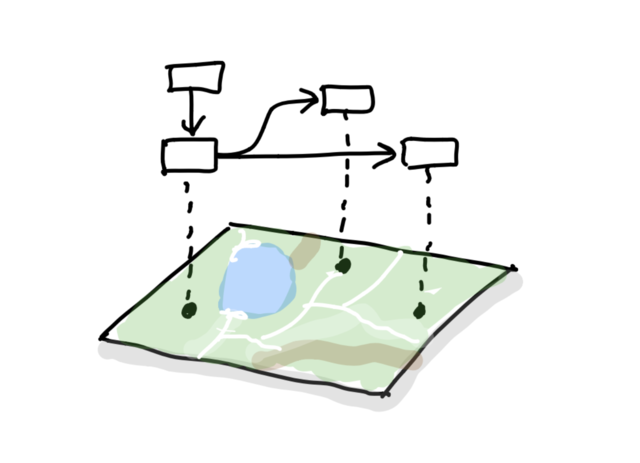
a concept to overlay system models (flow diagrams, nodes and connections, UML diagrams) on top of an OSM map
File history
Click on a date/time to view the file as it appeared at that time.
| Date/Time | Thumbnail | Dimensions | User | Comment | |
|---|---|---|---|---|---|
| current | 19:59, 26 December 2018 | | 1,366 × 988 (181 KB) | Jamiegray (talk | contribs) |
You cannot overwrite this file.
File usage
There are no pages that use this file.