File:Tertiary drc mapillary.jpg
Jump to navigation
Jump to search
Size of this preview: 800 × 450 pixels. Other resolutions: 320 × 180 pixels | 640 × 360 pixels | 1,280 × 720 pixels.
Original file (1,280 × 720 pixels, file size: 74 KB, MIME type: image/jpeg)
Summary
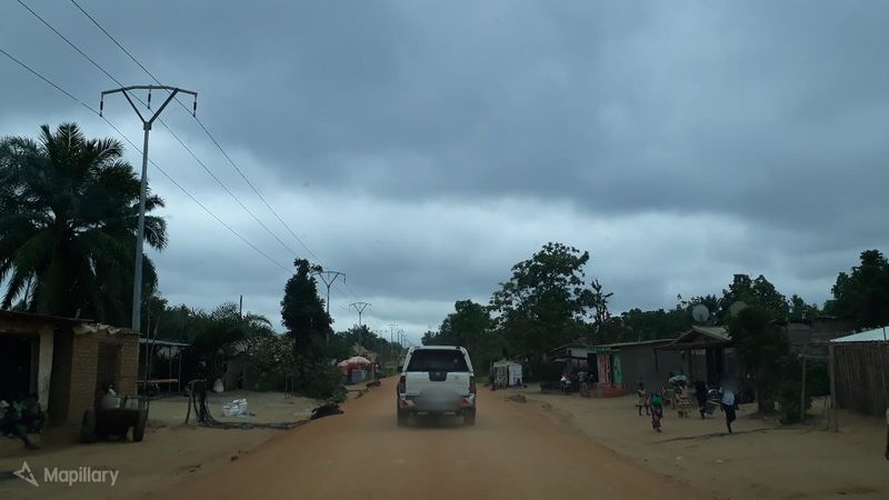
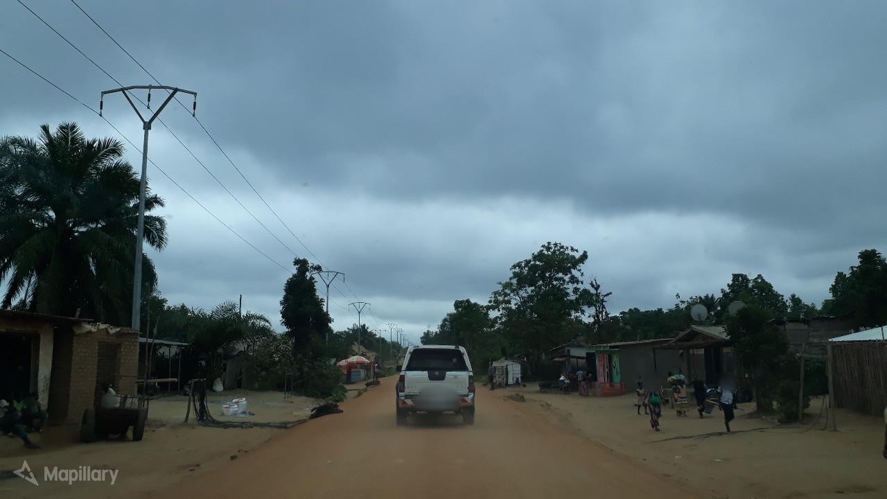
| Description | View of a tertiary road in Democratic Republic of Congo (DRC). Must be tag with "highway=tertiary". |
|---|---|
| Author | pmbuya on Mapillary |
| Source | Mapillary |
| Date | Mar 6, 2018 |
Licensing
![]()
![]()
![]()
This work is licensed under the Creative Commons Attribution-ShareAlike 4.0 License.
Attribution: pmbuya on Mapillary
Attribution: pmbuya on Mapillary
File history
Click on a date/time to view the file as it appeared at that time.
| Date/Time | Thumbnail | Dimensions | User | Comment | |
|---|---|---|---|---|---|
| current | 14:07, 8 April 2020 | | 1,280 × 720 (74 KB) | Michael Montani (talk | contribs) | highway=tertiary in Democratic Republic of the Congo. Mapillary photo by pmbuya https://www.mapillary.com/app/?lat=0.5180058000025665&lng=25.232542799999997&z=17&pKey=-5EiHQ-93MA2mvL0fowShA&focus=photo |
You cannot overwrite this file.
File usage
The following page uses this file: