File:Toluca.png
Jump to navigation
Jump to search

Size of this preview: 800 × 397 pixels. Other resolutions: 320 × 159 pixels | 640 × 318 pixels | 1,024 × 508 pixels | 1,280 × 635 pixels | 2,248 × 1,116 pixels.
Original file (2,248 × 1,116 pixels, file size: 1.82 MB, MIME type: image/png)
Summary
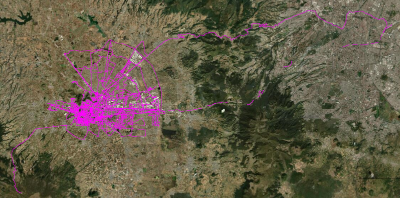
Tracks driven by Kaart's ground survey team in Toluca June 2020.
File history
Click on a date/time to view the file as it appeared at that time.
| Date/Time | Thumbnail | Dimensions | User | Comment | |
|---|---|---|---|---|---|
| current | 18:18, 17 July 2020 | | 2,248 × 1,116 (1.82 MB) | GhostEye (talk | contribs) | Tracks driven by Kaart's ground survey team in Toluca June 2020. |
You cannot overwrite this file.
File usage
The following 3 pages use this file: