File:Track drc mapillary.jpg
Jump to navigation
Jump to search


Size of this preview: 800 × 600 pixels. Other resolutions: 320 × 240 pixels | 640 × 480 pixels | 1,024 × 768 pixels | 1,280 × 960 pixels | 2,048 × 1,536 pixels.
Original file (2,048 × 1,536 pixels, file size: 233 KB, MIME type: image/jpeg)
Summary
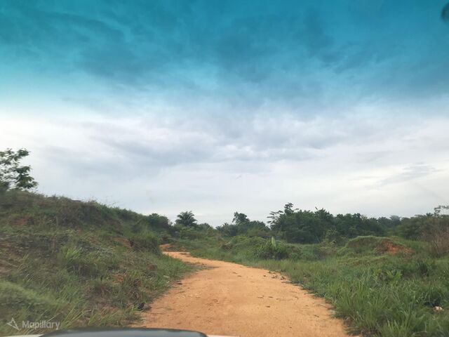
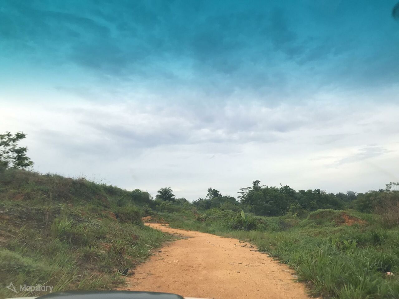
| Description | View of a track road in Democratic Republic of Congo (DRC). Must be tag with "highway=track". |
|---|---|
| Author | ange on Mapillary |
| Source | Mapillary |
| Date | Mar 6, 2018 |
Licensing
![]()
![]()
![]()
This work is licensed under the Creative Commons Attribution-ShareAlike 4.0 License.
Attribution: ange on Mapillary
Attribution: ange on Mapillary
File history
Click on a date/time to view the file as it appeared at that time.
| Date/Time | Thumbnail | Dimensions | User | Comment | |
|---|---|---|---|---|---|
| current | 13:53, 8 April 2020 | | 2,048 × 1,536 (233 KB) | Michael Montani (talk | contribs) | highway=track in Democratic Republic of the Congo. Mapillary photo by ange https://www.mapillary.com/app/?focus=photo&lat=0.5791476415475927&lng=25.181486830138738&z=17&pKey=s6dimgRrGOA-fHXgA59dYA&x=0.5139504915085163&y=0.6463705720086904&zoom=0 |
You cannot overwrite this file.
File usage
The following page uses this file: