File:Trevarez-carte.jpg
Jump to navigation
Jump to search

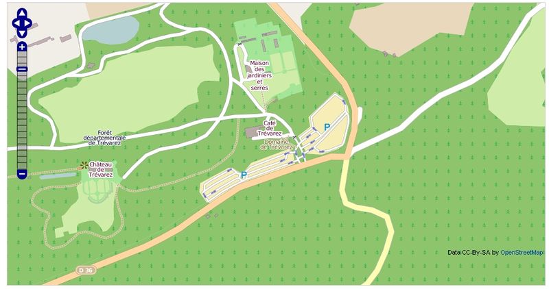
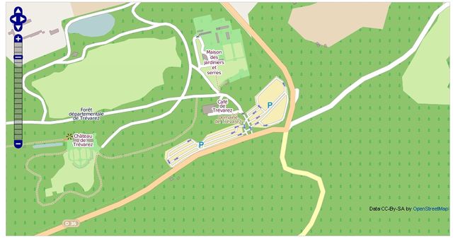
Size of this preview: 800 × 422 pixels. Other resolutions: 320 × 169 pixels | 640 × 338 pixels | 970 × 512 pixels.
Original file (970 × 512 pixels, file size: 298 KB, MIME type: image/jpeg)
Summary
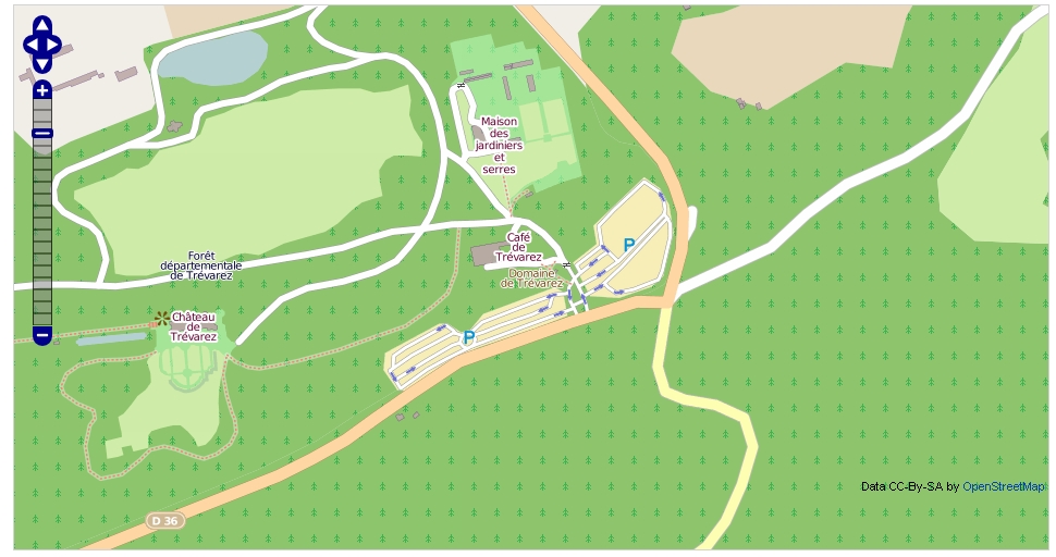
Carte du rendu mapnik des travaux sur Trévarez | 17 novembre 2012
Licensing
![]()
![]()
![]()
This screenshot contains OpenStreetMap Carto rendering.
The OpenStreetMap Carto map style is made available under the Creative Commons CC-0 1.0 Universal Public Domain Dedication.
- Attribution to the map data:
![]()
Contains map data © OpenStreetMap contributors, made available under the terms of the Creative Commons Attribution-ShareAlike 2.0 (CC-BY-SA-2.0).
File history
Click on a date/time to view the file as it appeared at that time.
| Date/Time | Thumbnail | Dimensions | User | Comment | |
|---|---|---|---|---|---|
| current | 22:05, 17 November 2012 | | 970 × 512 (298 KB) | 1piedsurTerre (talk | contribs) | Carte du rendu mapnik des travaux sur Trévarez | 17 novembre 2012 |
You cannot overwrite this file.
File usage
The following 2 pages use this file: