File:Trier, Zeichen 239 + 1022-10 bei Spitzmühle (cropped).jpeg
Jump to navigation
Jump to search

No higher resolution available.
Trier,_Zeichen_239_+_1022-10_bei_Spitzmühle_(cropped).jpeg (567 × 422 pixels, file size: 196 KB, MIME type: image/jpeg)
Summary
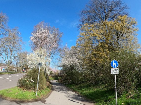
| Description | Trier, Zeichen 239 + 1022-10 nahe der Straße Spitzmühle |
|---|---|
| Author | steglitz |
| Source | Mapillary, image key 958449258330992 |
| Date | 2021-03-28 |
Licensing
![]()
![]()
![]()
This work is licensed under the Creative Commons Attribution-ShareAlike 4.0 License.
Attribution: steglitz
Attribution: steglitz
File history
Click on a date/time to view the file as it appeared at that time.
| Date/Time | Thumbnail | Dimensions | User | Comment | |
|---|---|---|---|---|---|
| current | 11:04, 5 March 2023 | | 567 × 422 (196 KB) | P1230 (talk | contribs) | {{Information | description=Trier, Zeichen 239 + 1022-10 nahe der Straße Spitzmühle | source=Mapillary, image key 958449258330992 | date=2021-03-28 | author=steglitz | other_versions= }} |
You cannot overwrite this file.
File usage
The following page uses this file:
.jpeg&oldid=2488033)