File:Tropical storm Isaac 23 August 2012.jpg
Jump to navigation
Jump to search

Size of this preview: 800 × 545 pixels. Other resolutions: 320 × 218 pixels | 640 × 436 pixels | 900 × 613 pixels.
Original file (900 × 613 pixels, file size: 200 KB, MIME type: image/jpeg)
Summary
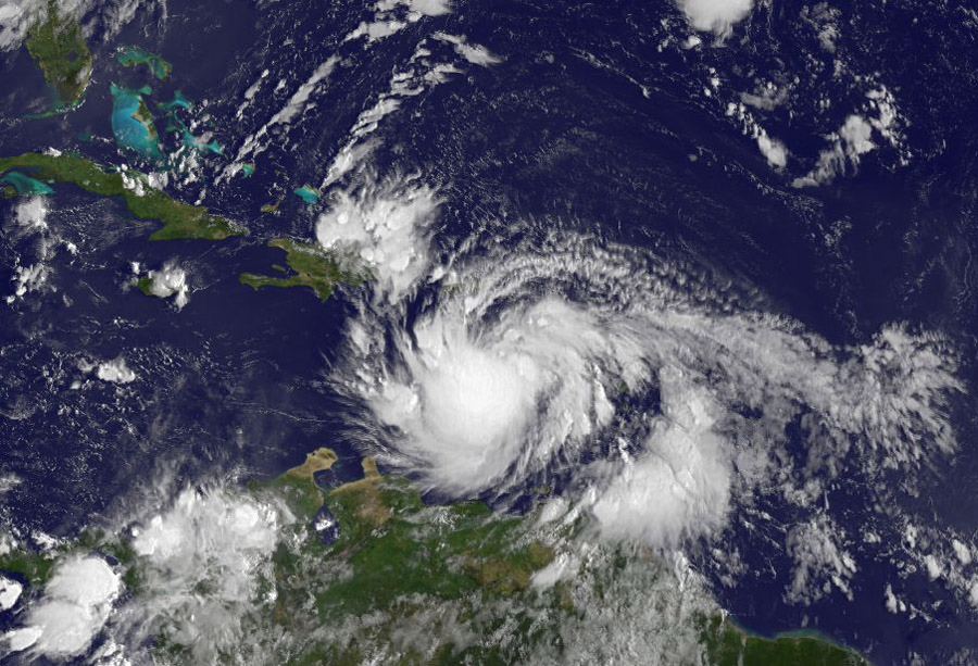
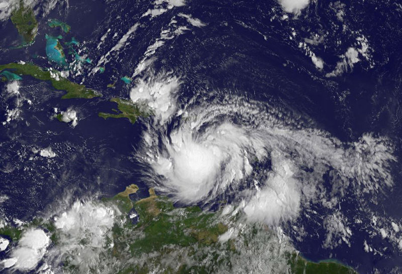
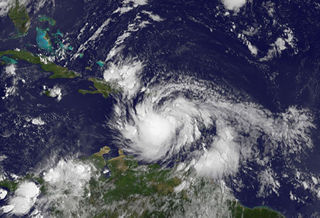
This visible image of Tropical Storm Isaac was captured by NOAA's GOES-13 satellite on Aug. 23 at 7:45 a.m. EDT as it was lashing the eastern Caribbean. Credit: NASA/NOAA GOES Project
Licensing
File history
Click on a date/time to view the file as it appeared at that time.
| Date/Time | Thumbnail | Dimensions | User | Comment | |
|---|---|---|---|---|---|
| current | 20:27, 23 August 2012 | | 900 × 613 (200 KB) | Severin.menard (talk | contribs) | This visible image of Tropical Storm Isaac was captured by NOAA's GOES-13 satellite on Aug. 23 at 7:45 a.m. EDT as it was lashing the eastern Caribbean. Credit: NASA/NOAA GOES Project |
You cannot overwrite this file.
File usage
The following 3 pages use this file: