File:Turkey.png
Jump to navigation
Jump to search

Size of this preview: 800 × 364 pixels. Other resolutions: 320 × 145 pixels | 880 × 400 pixels.
Original file (880 × 400 pixels, file size: 89 KB, MIME type: image/png)
mapnik rendered version as of 14.3.2007
Licensing
![]()
Contains map data © OpenStreetMap contributors, made available under the terms of the Creative Commons Attribution-ShareAlike 2.0 (CC-BY-SA-2.0).
![]()
This image file has been flagged as it could be improved. For example, through a more suitable cut, through a larger number of pixels or through a file format with less lossy compression.
File history
Click on a date/time to view the file as it appeared at that time.
| Date/Time | Thumbnail | Dimensions | User | Comment | |
|---|---|---|---|---|---|
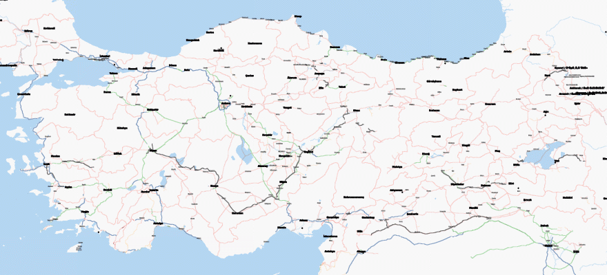
| current | 09:19, 10 December 2007 | | 880 × 400 (89 KB) | Hakan (talk | contribs) | Map of turkey as of 10. December 2007, with city borders now |
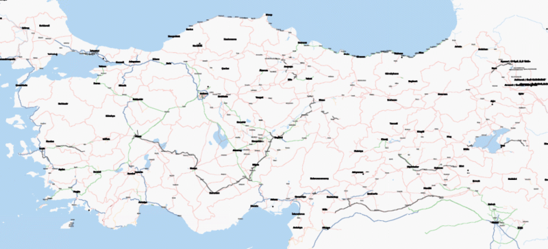
| 08:46, 4 December 2007 | 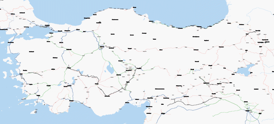 | 880 × 400 (66 KB) | Hakan (talk | contribs) | Map of turkey as of 3. December 2007, now really getting better ;-) | |
| 16:42, 14 March 2007 | 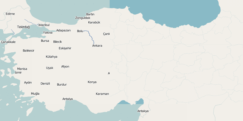 | 800 × 400 (31 KB) | Hakan (talk | contribs) | mapnik rendered version as of 14.3.2007 |
You cannot overwrite this file.
File usage
There are no pages that use this file.