File:UK Reading status.png
Jump to navigation
Jump to search

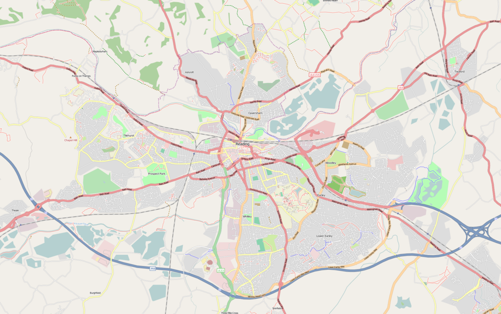
Size of this preview: 800 × 501 pixels. Other resolutions: 320 × 200 pixels | 640 × 401 pixels | 1,024 × 641 pixels | 1,280 × 801 pixels | 1,916 × 1,199 pixels.
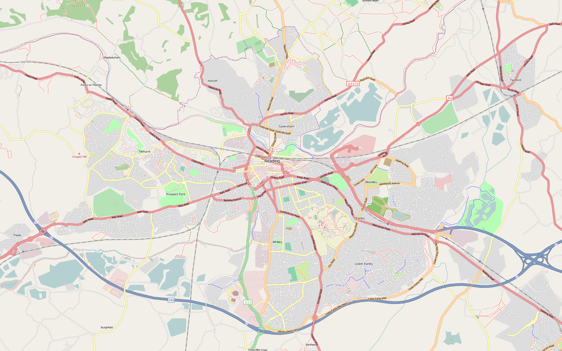
Original file (1,916 × 1,199 pixels, file size: 1.68 MB, MIME type: image/png)
Latest render of Reading, Berkshire, UK
Licensing
![]()
![]()
![]()
This screenshot contains OpenStreetMap Carto rendering.
The OpenStreetMap Carto map style is made available under the Creative Commons CC-0 1.0 Universal Public Domain Dedication.
- Attribution to the map data:
![]()
Contains map data © OpenStreetMap contributors, made available under the terms of the Creative Commons Attribution-ShareAlike 2.0 (CC-BY-SA-2.0).
File history
Click on a date/time to view the file as it appeared at that time.
| Date/Time | Thumbnail | Dimensions | User | Comment | |
|---|---|---|---|---|---|
| current | 19:09, 3 March 2009 | | 1,916 × 1,199 (1.68 MB) | Uh (talk | contribs) | Map of the Reading area straight from OSM export to png using mapnik image. The previous version of the file was more than a year old. |
| 15:37, 9 November 2006 | 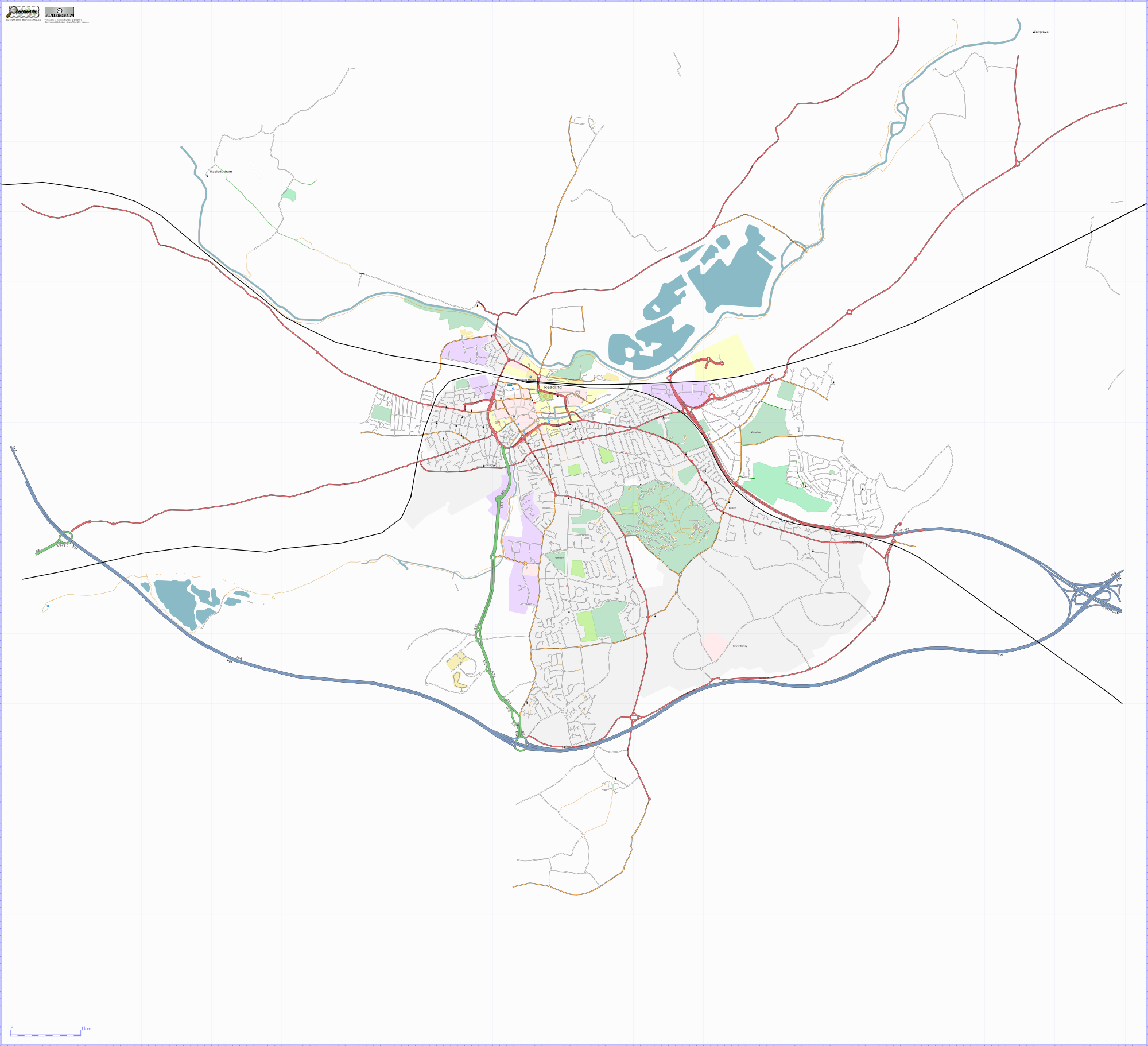 | 2,000 × 1,822 (731 KB) | TomChance (talk | contribs) | Latest render of Reading, Berkshire, UK using a customised Osmarender. | |
| 17:32, 21 September 2006 | 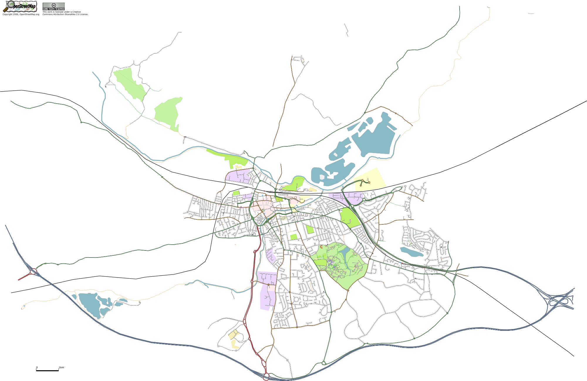 | 2,000 × 1,299 (706 KB) | TomChance (talk | contribs) | Latest render of Reading, Berkshire, UK using a customised Osmarender. | |
| 00:24, 19 September 2006 | 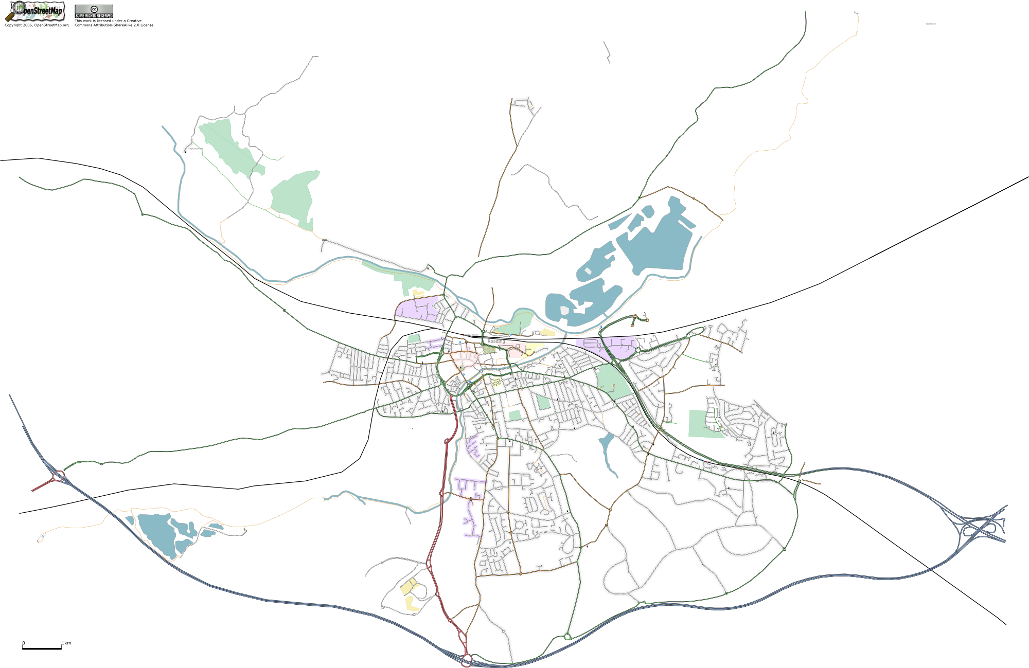 | 2,000 × 1,299 (684 KB) | TomChance (talk | contribs) | Latest render of Reading, Berkshire, UK using a customised Osmarender. | |
| 15:34, 13 September 2006 | 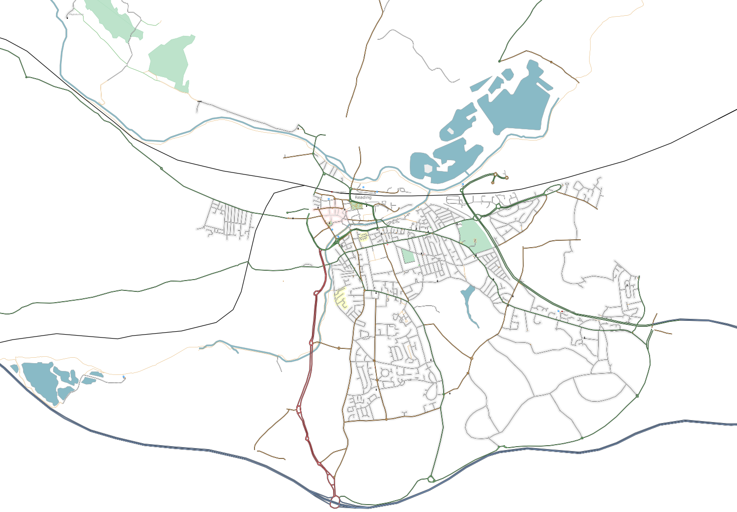 | 1,500 × 1,042 (495 KB) | TomChance (talk | contribs) | Latest render of Reading, Berkshire, UK using a customised Osmarender. |
You cannot overwrite this file.
File usage
The following 7 pages use this file: