File:UK Slough status.png
Jump to navigation
Jump to search

No higher resolution available.
UK_Slough_status.png (500 × 587 pixels, file size: 54 KB, MIME type: image/png)
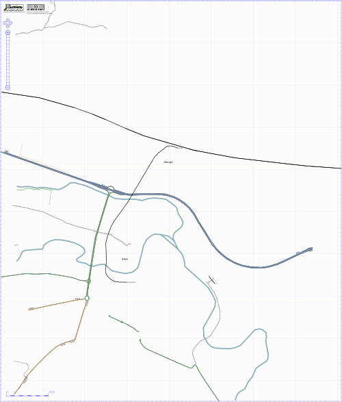
Slough Map circa 6th October 2006 (hopelessly out of date. of historical interest only)
Slough has been sketched in from Yahoo, but see the NoNames map to see which streets need surveying (still most of them as of May 2009)
File history
Click on a date/time to view the file as it appeared at that time.
| Date/Time | Thumbnail | Dimensions | User | Comment | |
|---|---|---|---|---|---|
| current | 02:32, 3 November 2006 | | 500 × 587 (54 KB) | Darkshine (talk | contribs) | Slough Map circa 6th October 2006 |
You cannot overwrite this file.
File usage
There are no pages that use this file.