File:UK criccieth status.png
Jump to navigation
Jump to search

No higher resolution available.
UK_criccieth_status.png (500 × 343 pixels, file size: 37 KB, MIME type: image/png)
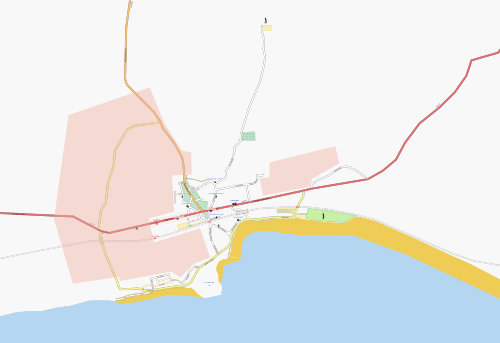
Extent of mapping in Criccieth, Wales, so far.
File history
Click on a date/time to view the file as it appeared at that time.
| Date/Time | Thumbnail | Dimensions | User | Comment | |
|---|---|---|---|---|---|
| current | 13:20, 14 September 2007 | | 500 × 343 (37 KB) | TomChance (talk | contribs) | Extent of mapping in Criccieth, Wales, so far. |
You cannot overwrite this file.
File usage
The following page uses this file: