File:Uclelet rendered map.png
Jump to navigation
Jump to search

No higher resolution available.
Uclelet_rendered_map.png (762 × 317 pixels, file size: 215 KB, MIME type: image/png)
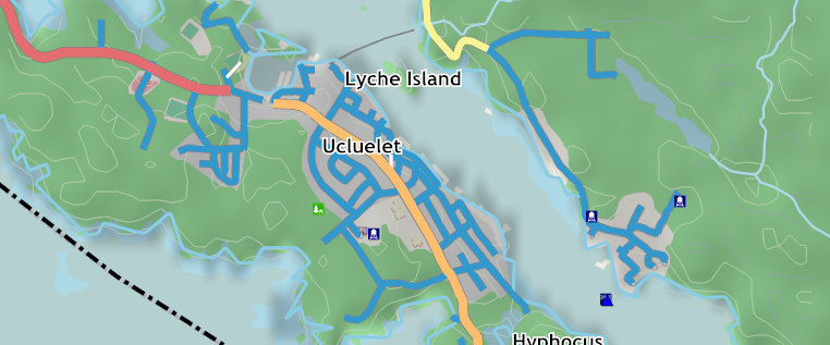
This is the sample area where data was imported from CanVec data, and the roads from GeoBase NRN data.
File history
Click on a date/time to view the file as it appeared at that time.
| Date/Time | Thumbnail | Dimensions | User | Comment | |
|---|---|---|---|---|---|
| current | 08:14, 2 June 2009 | | 762 × 317 (215 KB) | Acrosscanadatrails (talk | contribs) | This is the sample area where data was imported from CanVec data, and the roads from GeoBase NRN data. |
You cannot overwrite this file.
File usage
The following page uses this file: