File:Uk reading landuse.png
Jump to navigation
Jump to search


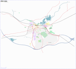
Size of this preview: 658 × 599 pixels. Other resolutions: 263 × 240 pixels | 527 × 480 pixels | 843 × 768 pixels | 1,124 × 1,024 pixels | 2,000 × 1,822 pixels.
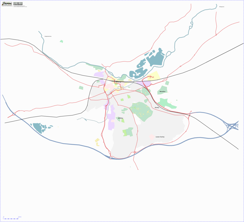
Original file (2,000 × 1,822 pixels, file size: 378 KB, MIME type: image/png)
A tweaked osmarender that shows landuse in Reading, with A roads, trunk roads, motorways and railways to clarify where stuff is.
Lots and lots of landuse in Reading remains to be drawn in, especially West Reading, Woodley and Caversham (to the North of the river).
![]()
Contains map data © OpenStreetMap contributors, made available under the terms of the Creative Commons Attribution-ShareAlike 2.0 (CC-BY-SA-2.0).
File history
Click on a date/time to view the file as it appeared at that time.
| Date/Time | Thumbnail | Dimensions | User | Comment | |
|---|---|---|---|---|---|
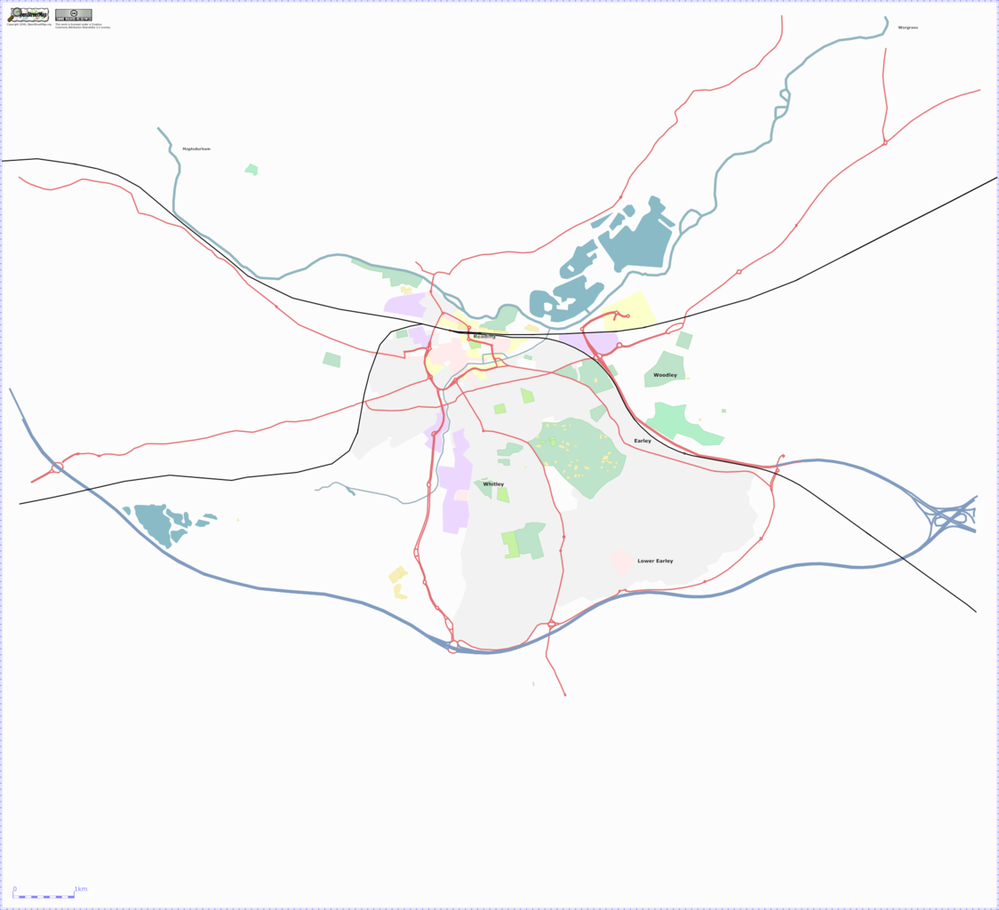
| current | 13:13, 9 November 2006 | | 2,000 × 1,822 (378 KB) | TomChance (talk | contribs) | A tweaked osmarender that shows landuse in Reading, with A roads, trunk roads, motorways and railways to clarify where stuff is. Lots and lots of landuse in Reading remains to be drawn in, especially West Reading, Woodley and Caversham (to the North of t |
You cannot overwrite this file.
File usage
The following page uses this file: