File:Vercelli20100729.png
Jump to navigation
Jump to search


Size of this preview: 800 × 439 pixels. Other resolutions: 320 × 176 pixels | 640 × 351 pixels | 1,024 × 562 pixels | 1,720 × 944 pixels.
Original file (1,720 × 944 pixels, file size: 364 KB, MIME type: image/png)
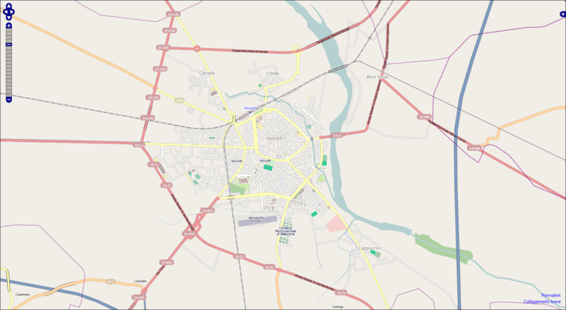
Stato della mappa di Vercelli (2010-07-29)
Screenshot of Vercelli's map on 2010-07-29
File history
Click on a date/time to view the file as it appeared at that time.
| Date/Time | Thumbnail | Dimensions | User | Comment | |
|---|---|---|---|---|---|
| current | 08:26, 29 July 2010 | | 1,720 × 944 (364 KB) | SimoneSVC (talk | contribs) | Stato della mappa di Vercelli (2010-07-29) Screenshot of Vercelli's map on 2010-07-29 |
You cannot overwrite this file.
File usage
The following page uses this file: