File:WalawaDuplicated.png
Jump to navigation
Jump to search

Size of this preview: 700 × 600 pixels. Other resolutions: 280 × 240 pixels | 560 × 480 pixels | 901 × 772 pixels.
Original file (901 × 772 pixels, file size: 337 KB, MIME type: image/png)
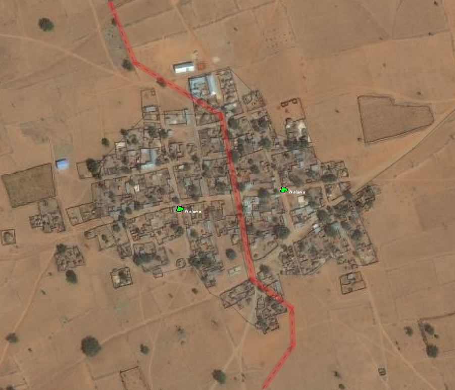
This screenshot shows two identical nodes for Walawa village, but one marks the part of the village that lies to the West and belongs to Durma ward, and the other marks the Eastern side of the village that belongs to Maitsidau ward.
File history
Click on a date/time to view the file as it appeared at that time.
| Date/Time | Thumbnail | Dimensions | User | Comment | |
|---|---|---|---|---|---|
| current | 11:45, 23 May 2014 | | 901 × 772 (337 KB) | Edvac (talk | contribs) | This screenshot shows two identical nodes for Walawa village, but one marks the part of the village that lies to the West and belongs to Durma ward, and the other marks the Eastern side of the village that belongs to Maitsidau ward. |
You cannot overwrite this file.
File usage
The following 2 pages use this file: