File:Xctrails.png
Jump to navigation
Jump to search

Size of this preview: 800 × 526 pixels. Other resolutions: 320 × 210 pixels | 640 × 421 pixels | 1,024 × 673 pixels | 1,322 × 869 pixels.
Original file (1,322 × 869 pixels, file size: 373 KB, MIME type: image/png)
Summary
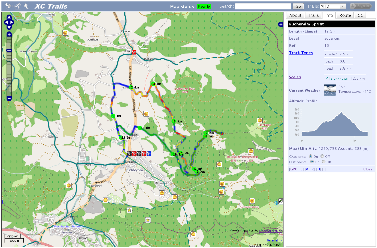
Karte für MTB und Langlauf Trails auf Basis der jeweiligen OSM ways und relations, mit Höhenprofilen und Routing-Funktion von www.xctrails.org
Licensing
![]()
Contains map data © OpenStreetMap contributors, made available under the terms of the Creative Commons Attribution-ShareAlike 2.0 (CC-BY-SA-2.0).
File history
Click on a date/time to view the file as it appeared at that time.
| Date/Time | Thumbnail | Dimensions | User | Comment | |
|---|---|---|---|---|---|
| current | 08:55, 4 March 2012 | | 1,322 × 869 (373 KB) | Arminus (talk | contribs) | Karte für MTB und Langlauf Trails auf Basis der jeweiligen OSM ways und relations, mit Höhenprofilen und Routing-Funktion von www.xctrails.org |
You cannot overwrite this file.