File:Zonificacion catastral.png
Jump to navigation
Jump to search


Size of this preview: 629 × 599 pixels. Other resolutions: 252 × 240 pixels | 504 × 480 pixels | 970 × 924 pixels.
Original file (970 × 924 pixels, file size: 17 KB, MIME type: image/png)
Summary
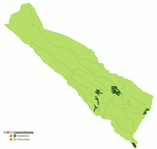
Ejemplo del conjunto de datos de Zonificación Catastral del Catastro Español.
Licensing
![]()
This file has been released into the public domain by the copyright holder, its copyright has expired, or it is ineligible for copyright. This applies worldwide.
Please, please use more specific template such as {{PD-self}} / {{PD-creator}} / {{PD-shape}} / {{PD-USGov}} / {{PD-old}} / {{PD-RU-exempt}} ... This template is not making clear why this work is in the public domain.
Please, please use more specific template such as {{PD-self}} / {{PD-creator}} / {{PD-shape}} / {{PD-USGov}} / {{PD-old}} / {{PD-RU-exempt}} ... This template is not making clear why this work is in the public domain.
File history
Click on a date/time to view the file as it appeared at that time.
| Date/Time | Thumbnail | Dimensions | User | Comment | |
|---|---|---|---|---|---|
| current | 18:06, 15 June 2017 | | 970 × 924 (17 KB) | Javiersanp (talk | contribs) | Ejemplo del conjunto de datos de Zonificación Catastral del Catastro Español. |
You cannot overwrite this file.
File usage
The following 2 pages use this file: