State of the Map Philippines 2013
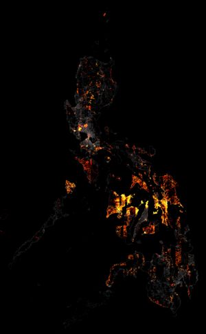
The growth of OpenSreetMap Philippines data and volunteers grew tremendously this year. Let's end the year on a positive note by sharing stories, experiences and mapping techniques.
It's all over! This mini-SOTM-PH took place on December 14 to 15, 2013 in Quezon City. Thanks for coming!
But the mapping goes on...
Check out WikiProject Philippines for more information
Overview
This is an open event, if you have projects or interests related to OSM and open data, you will find people to discuss the details with you.
When and Where
Date and Time: December 14 to 15, 2013 (Saturday and Sunday) 9:00 and beyond
Venue: Environmental Science for Social Change, Manila Observatory, Ateneo de Manila University, Katipunan Avenue, Loyola Heights, Quezon City (map)
Schedule
| Time | Speaker/Lead | Activity/Topic | Description | |
|---|---|---|---|---|
| Day 1 - December 14
Presentations and Demo | ||||
| 800 - 900 | Registration | |||
| 900 - 930 | Opening Program | |||
| 930 - 1000 | Kate Chapman | Humanitarian OSM Team - Keynote | slides, video | |
| 1000 - 1030 | Ninoy Castro - DSWD | Using ICT for Disaster Response - Keynote | DSWD ITC for DRR, DWSD SoTM, DSWD WebGIS | |
| 1030 - 1100 | Yantisa Akhadi - OSM-ID | State of OSM Indonesia | slides | |
| 1100 - 1130 | Miguel Macariola - DepEd | DepEd's Schools Mapping initiative and prospect for OSM collaboration | slides | |
| Lunch | ||||
| 1300 - 1330 | Dewi Sulistioningrum - OSM-ID | Using OSM, QGIS, and InaSAFE for Contingency Plan in Indonesia | slides | |
| 1330 - 1400 | Dianne Bencito - ESSC | InaSAFE Development in the Philippines | slides | |
| 1400 - 1430 | Feye Andal - ESSC | Update on the Participatory mapping and LGU decision support tools for Disaster Risk Reduction in Pampanga | slides | |
| 1430 - 1500 | Rally de Leon | Using off-the-shelf, free offline utilities and templates to extract and render OSM maps | slides | |
| 1530 - 1600 | Vasanthi Hargyono - OSM-ID | Mapping Flood POI Using OSM and Photovoice | slides | |
| Lightning Talks | ||||
| Q/A tools for better OSM editing - Ian Lopez/Eugene Villar slides
My GPS Story - Maning Sambale, slides
| ||||
| Dinner and GeoBeers at Bonfire Grill | ||||
| Day 2 - December 15
Hacking and Workshops | ||||
| 920 - 940 | Taichi Furuhashi - Keynote | Code for Japan and Code for Asia - Keynote | (via G+ Hangout), slides | |
| 940 - 1000 | Eugene Alvin Villar - Keynote | State of OSM Philippines | ||
| 1000 -1200 | HOT | Crisismapping for Yolanda (workshop) | Discussions on the next steps and future activities related to the Yolanda crisis mapping response | |
| 1000 - 1200 | UAVs - Options and challenges for mapping (workshop/demo) | |||
| Lunch | ||||
Attendees
Sign-up is not binding, but helps to plan the event. Our space is also limited (30 people). If you're planning to work or share on something specific, it may be a good idea to add that in the list above.
- Maning Sambale
- RK Aranas
- Eugene Villar
- Feye Andal
- Dianne Bencito
- Ninoy Castro
- Marx Tupas
- Willy Rada
- Yantisa Akhadi
- Vasanthi Hargyono
- Dewi Sulistioningrum
- Leigh Lunas
- John Ray Bergado
- HM Labao
- Jules Bañgate
Links
Google+ Hangout Event page: https://plus.google.com/events/ch5afb1pfen5v84utdonenss6t0
Facebook event page: https://www.facebook.com/events/1457511187809082
Flickr photoset: http://www.flickr.com/photos/esambale/sets/72157638758308586/
Blogs and news
- A Story From State of The Map Philippines 2013 (in Bahasa, in English)
- Twitter #sotmph
Sponsors
- Environmental Science for Social Change
- WorldBank
- Humanitarian OpenStreetMap Team
