Proposal:Tag:health amenity:type
| Tag:health_amenity:type | |
|---|---|
| Proposal status: | Draft (under way) |
| Proposed by: | mataharimhairi |
| Tagging: | health_amenity:type=* |
| Applies to: | |
| Definition: | Indicates what type of speciality medical equipment is available at a health facility |
| Statistics: |
|
| Draft started: | 2019-06-10 |
| RFC start: | 2019-06-17 |
Proposal
The tag health_amenity:type=* is used to indicate what type of speciality medical equipment is available at a health facility.
Rationale
The tag health_amenity:type=* is in use, but has not been formally proposed until now. The ability to be able to record what speciality medical equipment is available for use at health facilities is very important for understanding whether or not certain types of treatment can be provided at that particular site. This information is important for deciding where a patient will be sent based on their needs and whether or not a health facility has the proper equipment to support those needs. The use of ‘health_amenity:type’, was initially proposed by Fabi2 as part of Healthcare 2.0. The Healthcare 2.0 wiki page put together by OSM user Fabi2 is very extensive and informative, but unfortunately the whole page has been listed as abandoned, so it was reviewed and tags were re-purposed where it made sense.
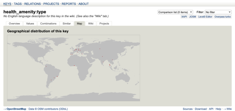
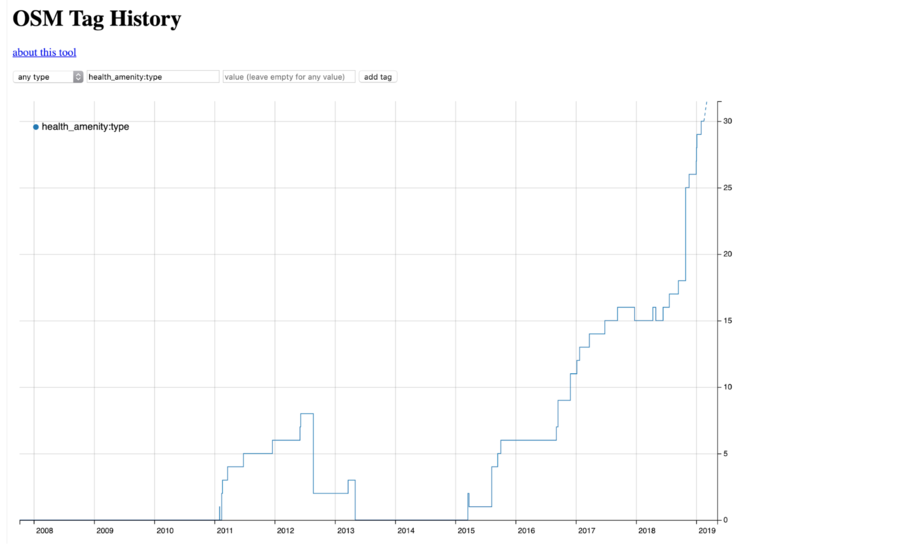
TagInfo, the Wiki and Tag History were also utilised to try and find tags that might already be in use. And although there were some, non of these were ever formally proposed or accepted by the community. Therefore the conclusion to use health_amenity:type=* was based on the use count of 37 derived from TagInfo and the gradual increase in its usage over time as found on Tag History. Both the information and the snap shots below were taken on June 14. It looks as though use of the tag started in early 2011 and went quiet in 2013, before having a resurgence in 2015 from which it has continued to be applied for the purpose of capturing the type of speciality medical equipment at a health facility.
Applies to
- Nodes
- Areas
- When considering nodes vs areas: generally, if an item is smaller than 5 m by 5 m, it would not be mapped as an area, but as a node.
Tagging
- As a node: place a node at the center of the health facility. Map the facility with the following tags outlined in the useful combination section below, as well as the health_amenity:type tag. Be sure to add a common term used for describing the type of medical equipment available at the identified health site.
- As an area: Map the building of the health facility. Tag the facility with the following tags outlined in the useful combination section below, as well as the health_amenity:type tag. Be sure to add a common term used for describing the type of medical equipment available at the identified health site.
- Value examples: ultrasound, mri, x_ray, dialysis, operating_theater, laboratory, imaging_equipment, intensive_care_unit, emergency_department
Useful Combination
- amenity=*
- healthcare=*
- healthcare:speciality=*
- name=*
- operator=*
- operator:type=*
- addr:full=*
- contact:phone=*
- operational_status=*
- opening_hours=*
- beds=*
- staff_count:doctors=*
- staff_count:nurses=*
- dispensing=*
- wheelchair=*
- emergency=*
- insurance:health=*
- water_source=*
- electricity=*
- url=*
- source=*
Examples
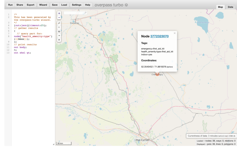
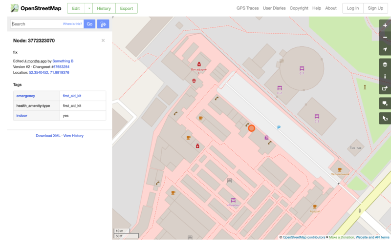
Stepnogorsk, Kazakhstan
https://overpass-turbo.eu/s/K0Q
https://www.openstreetmap.org/node/3772323070#map=19/52.35405/71.88194
Features/Pages affected
External discussions
See the Global Healthsite Mapping Project wiki page for a full overview of the initiative and OSM data model developed for capturing key health facility information.
Comments
Please comment on the discussion page.


