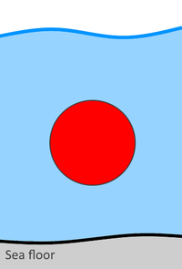
Tag:location=underwater
Jump to navigation
Jump to search
| Description |
|---|
| Indicate a given feature is underwater |
| Group: properties |
| Used on these elements |
| See also |
| Status: de facto |
| Tools for this tag |
|
This key states that a given feature is underwater
Features buried under the seabed should be described with location=underground
