Tag:place=district
Similar pages for structural reference: Tag:railway=tram, Tag:waterway=dock.
| Description |
|---|
| A district - a type of administrative division that, in some countries, is managed by local government. |
| Group: places |
| Used on these elements |
| Useful combination |
|
| See also |
| Status: in use |
| Tools for this tag |
|
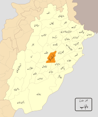
place=district is a type of administrative division that, in some countries, is managed by local government.
This can be mapped as a node with place=district + name=* when the boundaries are unknown are undefined.
A more common way to map districts when the boundaries are know is with a boundary relation of type=boundary + boundary=administrative + admin_level=* - see the list of countries in the page Tag:boundary=administrative#10_admin_level_values_for_specific_countries to find the correct value.
When the district is mapped as a boundary relation it is not necessary to use place=district.
Use of this tag is discouraged on relations and ways
Instead create a relation with the following tags (at a minimum), no place=* tag is necessary:
In most situations, do not apply any tags to the ways (role of "outer") which forms part of that relation. The use of this tag is redundant, however convention may change in the future. For the time being and until a formal convention is established, the use of this tag should be limited to historical edits only.
Refer to the admin_level=* Country specific values in boundary=administrative.
Actual usage
Some of the actual uses of this tag include:
