Topomapper
(Redirected from Topomapper Screenshot)
Jump to navigation
Jump to search
Topomapper (topomapper.com) is a website showing satellite imagery with labels overlayed. Both sets of tiles are served from atlogis.com.
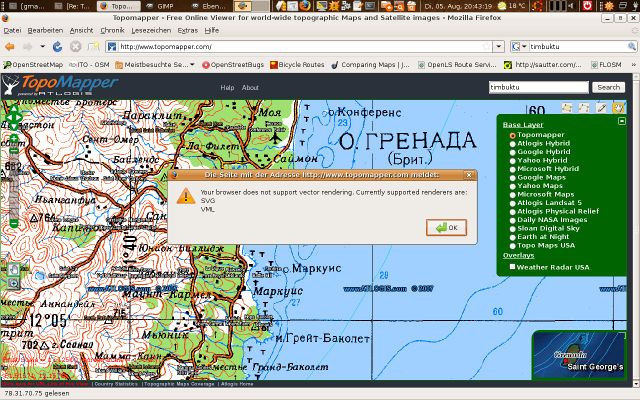
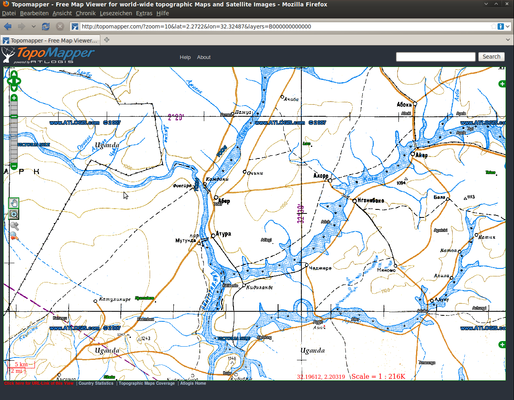
It seems like maybe it originally did more than that. Maybe originally relief maps with contours, and browser-based vector rendering (See screenshots below)
This article is a stub. You can help OpenStreetMap by expanding it.
Presumably the label layer uses data from OpenStreetMap? (Unknown. If so, then the website is currently giving inadequate credit to OpenStreetMap)
Screenshots
Old screenshots uploaded here in 2010. It seems to look different now.

