Mexico/Projects
| Learn to map | Tagging guidelines | Code of Conduct | Data imports | |||
| Active projects | Events | News | Users | Other pages |
Active/Current Projects
Community Projects
Unmapped places: Leave no one behind
Through Maproulette projects, or by manually tracing the network of roads, paths, village streets, hamlets and isolated inhabited places, contributors map missing areas on the map, with the aim of developing the map in their most lagging territories. The existence of data on the map offers different institutional and social actors the possibility of benefiting isolated populations in the territory.
Attention is placed in particular where the map is most incomplete: in the south and northwest in the States of Sonora, Chiapas, Oaxaca, Guerrero, among others.
The mappings are tagged (not systematically) with #unmappedplaces, #maproulette if they have used this tool.
Kaart contributors actively participate in mapping missing areas on the map in order to complete these regions as much as possible, without being the only organization or group of people interested in this topic.
In connection with a HOT effort in Mexico and Guatemala, locations are being added through direct observation of images, and use of open data of population settlements from Facebook, and mapatones are being conducted in both countries (south-west Mexico and Guatemala) to map vulnerable locations: buildings and roads.
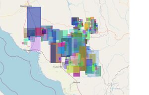
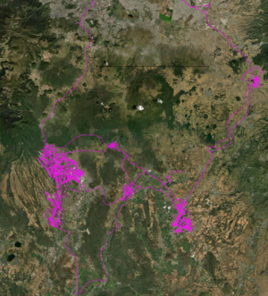
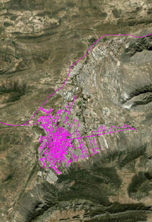
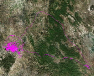
Indicative visualization of some change zones: Chiapas, Sonora.
Kaart Mapping Projects
Kaart Groundwork & Editing
- Conditional restrictions (e.g. reversible roads in cities) Starting with the street-level imagery survey operation (with Mapillary) in 2020 in order to bring evidence-based improvements to OpenStreetMap roads, a special effort is being made on conditionally restricted roads and turning restrictions. The standards established at: https://wiki.openstreetmap.org/wiki/ES:Restricciones_condicionales are the one used to correctly label the specific lanes affected. For Mexico City where the reversible lanes system acquires a particular complexity, in addition to variations over time, besides having on-site evidence, a consultation has been made to the authorities (SEMOVI and Secretaría de Seguridad Ciudadana) to have the most consistent information and to know the variations due to vacations and pandemic.
Kaart conducts ground surveys for improvements to OSM data. A list of editors can be found on the Kaart wiki page.
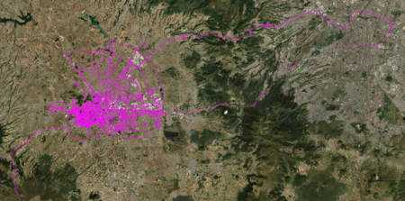
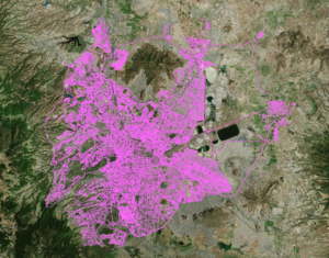
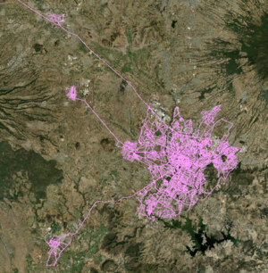
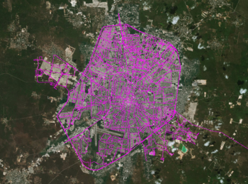
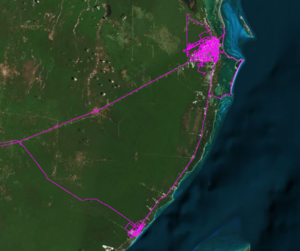
- Mapillary imagery from the Mexico drives can be viewed here as they are uploaded.
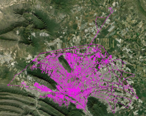
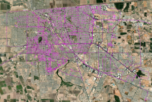
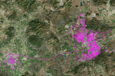
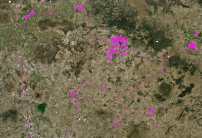
Tijuana, Mexicali, & Monterrey (February, 2020)
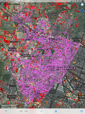
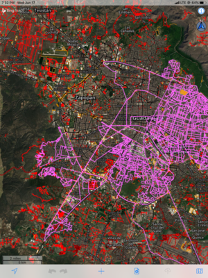
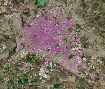
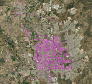
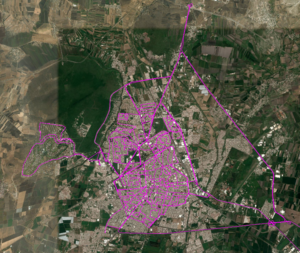
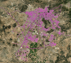
Guadalajara, Leon, Aguascalientes (June, 2020)
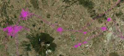
Toluca (July, 2020)
Mexico City (August, 2020)
Puebla (August, 2020)
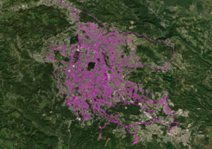
Merida, & Cancun (September, 2020)
Queretaro, & Irapuato (September, 2020)
Pachuca & Surrounding Areas(October, 2020)
Tlaxcala, & Xalapa (October, 2020)
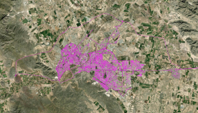
Torreón & Saltillo(October, 2020)
San Luis Potosí (October, 2020)
Ground Focus
- Primary focus is on updating street names, classifications, missing geometry, and one-ways.
Post Processing
- After the ground survey is conducted, our office team reviews the footage gathered and updates street names by checking the consistency with current data and physical road signs.
- The team will add turn restrictions, addresses, barriers, pedestrian crossings, ref tags, surfaces to roads, lanes, destination tags, and additional missing geometry.
Suggested Community Edits
- After incorporating the available data from the ground survey and processing the footage we compile suggested edits for the region.
The ground survey of Tijuana and Mexicali was conducted by Kaart Team members CaseyIvanW, MMantlo, GhostEye and JAAS
The ground survey of Monterrey was conducted by Kaart Team members Cinderblock, RobinNoodles, vespax, & Buddy-the-Elf.
The ground survey of Guadalajara, Leon and Aguascalientes was conducted by Kaart Team members GhostEye, Buddy-the-Elf, DRM150, & Soccersweeper
The ground survey of Toluca was conducted by Kaart Team members hairyhaggis & AnonJason
The ground survey of Mexico City was conducted by Kaart Team members Soccersweeper, Buddy-the-Elf, GhostEye, ReedtheRiver, Corban8, & Kaati_B
The ground survey of Puebla was conducted by Kaart Team members CoolGuyJake, Whimsical Otter, DowntownAbby, & InnerPace.
The ground survey of Merida and Cancun was conducted by Kaart Team members Buddy-the-Elf, & InnerPace.
The ground survey of Queretaro and Irapuato was conducted by Kaart Team members Corban8, & DRM150.
The ground survey of Cuernavaca and surrounding areas was conducted by Kaart Team members GhostEye, & Soccersweeper.
The ground survey of Pachuca and surrounding areas was conducted by Kaart Team members GhostEye, & Buddy-the-Elf.
The ground survey of Tlaxcala and surrounding areas, and Xalapa was conducted by Kaart Team members Soccersweeper, & DRM150.
The ground survey of Torreón and Saltillo was conducted by Kaart Team members Corban8, & InnerPace.
The ground survey of San Luis Potosí was conducted by Kaart Team members ReedtheRiver, & hairyhaggis.
Potential data sources
See Potential Datasources#Mexico and information under "Federal Highways" in this article.
Mapa de referencia
INEGI http://gaia.inegi.org.mx/mdm6/
Old/Finished projects
Co.mapper
Project to map risks and environmental problems in the city of Tulum with communities in articulation with the municipal government of Tulum and HOT, to enrich local plans and risk atlas. It is operated by Geoid.mx, OSM Mexico's mapping consultancy.
Co.Mapper Tulum , https://comapper.org/, is a project based on the "Open Cities" methodology. It seeks to catalyze the creation, management and use of open data for urban planning and resilience of the municipality with the help of local government, civil organizations and universities. The results will be a knowledge and information base for the development of public policies and a project that supports the elaboration of the Municipal Climate Action Plan - PACMUN and the Risk Atlas.
High quality open spatial data has been created and published in OpenStreetMap on the built environment, critical infrastructure and natural hazard risks in the municipality of Tulum. Local capacity and institutional development will be enhanced through the creation of mapping data. Specific products and/or tools (e.g. visualization tools, atlases, map series or mobile applications) were developed with the OpenStreetMap map as a base input to assist the municipality of Tulum in utilizing natural disaster risk information.
The project has been finished and presented in the municipality on April 17th 2023.
Mapping university transportation at the UAEMEX Toluca Campus
The students of the Geography faculty of UAEMEX-Toluca, are mapping the transportation of their campus and integrating the data to OSM, under the advice of Trufi.org
Consensus about local streetname conventions in Mexico
There is an ongoing discussion about the most suitable way to name streets in Mexico.
This exchange has been documented through different channels:
- Forum
- Mailing-list
- Social media
More recently, a virtual meeting was held on December 15, 2020 to provide the community with some context on the main arguments and the optimal way to reach a collective decision on this issue.
It was agreed that the different proposals for the new street tagging system for Mexico will be gathered here in the wiki. As stated in the meeting minutes, the deadline to submit proposals is January 10, 2020. Afterwards, the proposals will be shared widely through the different communication channels for the OSM Community in Mexico. The voting of the proposals will be made explicitly through the wiki by adding the usernames that support the respective proposal at the end of each page. The voting was initially closed on January 31st, 2021 but extended with agreement to Febuary 15th. The proposal 1 gathered the higher number of votes.
Proposals and respective votes:
HOT mapping projects
- 2017 Mexico Earthquakes - activation in September 2017
- 2016 Hurricane Newton - activation in September 2016
- 2015 Hurricane Patricia - activation in October 2015
- 2015 Mexico Earthquake Drill
Video tutorials for beginners :
- Select a Task in the OpenStreetMap Tasking Manager: https://youtu.be/73XCpTgyhSk (8 minutes in English)
- How to use the OpenStreetMap Tasking Manager: https://youtu.be/_feTGQXLf_M (4 minutes en ingles y español)
- Learning to map in OpenStreetMap with the iD Editor: https://youtu.be/Ir-3K0pjwOI (8 minutes en ingles y español)
Proyecto de importación de las divisiones administrativas de México
Proyecto de importación de las divisiones administrativas de México
