Tag:emergency=first_aid
Jump to navigation
Jump to search
| Description |
|---|
| A first aid facility. |
| Group: emergencies |
| Used on these elements |
| See also |
| Status: in use |
| Tools for this tag |
|
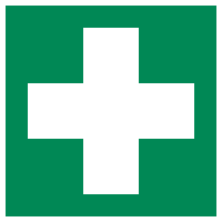
A first aid facility outside of a hospital, such as those in amusement parks. Usually signed with a cross of some color, names vary across countries. See the translations of this page for local names.
This tag page is a stub. You can help OpenStreetMap by expanding it.
Similar pages for structural reference: Tag:railway=tram, Tag:waterway=dock.
Similar pages for structural reference: Tag:railway=tram, Tag:waterway=dock.
An English example can be seen on this picture (no license is available for the picture and so it cannot be reused or embedded directly on this wiki).
See also
- emergency=first_aid_kit – a collection materials and item for first aid


