File:20210105 103911.jpg
Jump to navigation
Jump to search

Size of this preview: 450 × 600 pixels. Other resolutions: 180 × 240 pixels | 360 × 480 pixels | 576 × 768 pixels | 768 × 1,024 pixels | 1,536 × 2,048 pixels | 3,096 × 4,128 pixels.
Original file (3,096 × 4,128 pixels, file size: 6.46 MB, MIME type: image/jpeg)
Summary
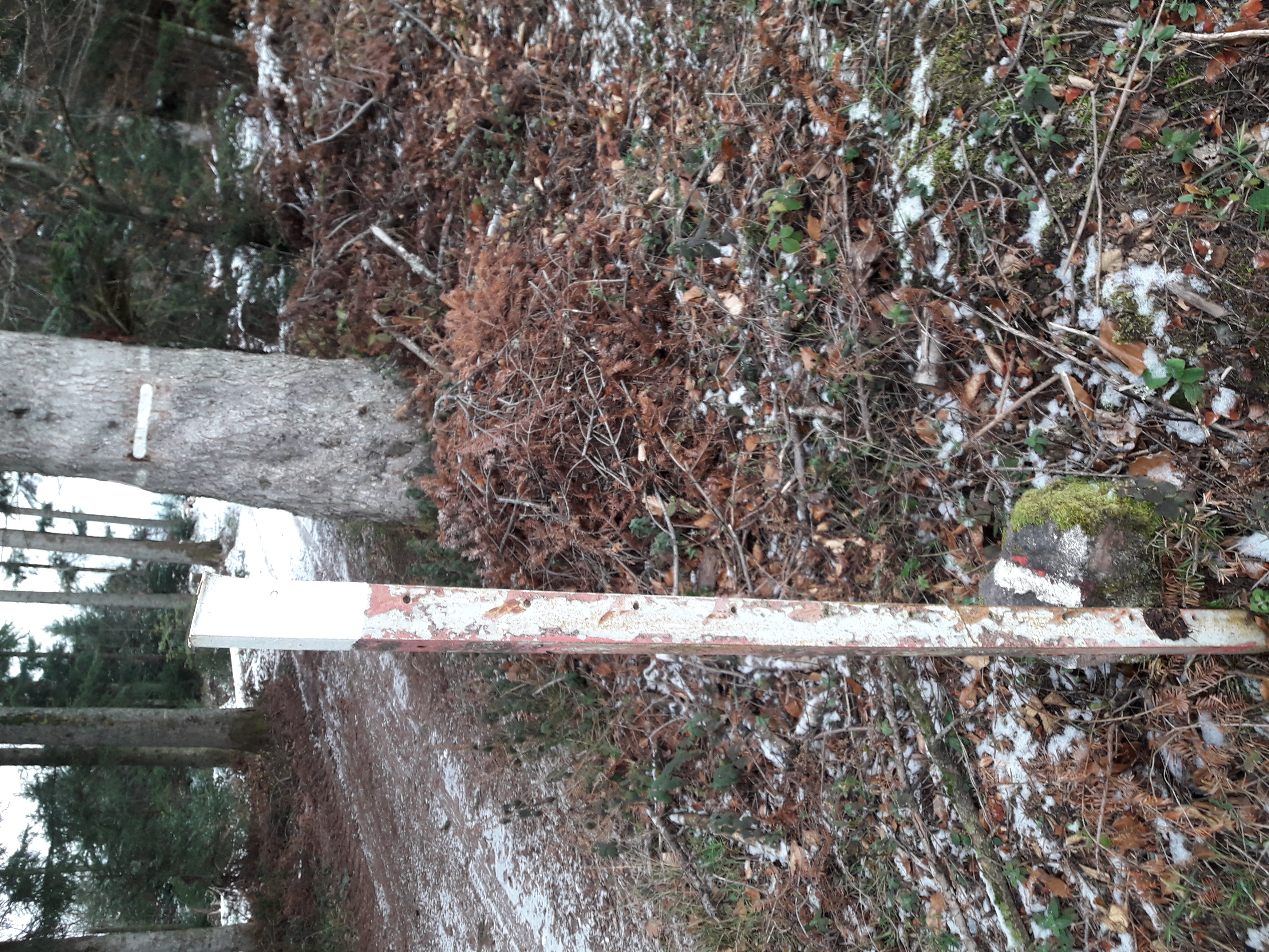
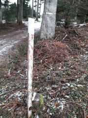
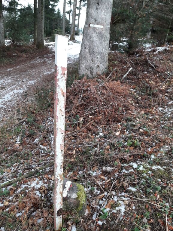
Another boundary limit, at a corner: the boundary runs from the boundary stone to the tree, then goes on the right.
Licensing
- This media file was uploaded by author of the work and its copyright holder.
![]()
![]()
![]()
This work is licensed under the Creative Commons Attribution-ShareAlike 4.0 License.
Attribution: Penegal
Attribution: Penegal
File history
Click on a date/time to view the file as it appeared at that time.
| Date/Time | Thumbnail | Dimensions | User | Comment | |
|---|---|---|---|---|---|
| current | 06:52, 6 January 2021 | | 3,096 × 4,128 (6.46 MB) | Penegal (talk | contribs) | Another boundary limit, at a corner: the boundary runs from the boundary stone to the tree, then goes on the right. |
You cannot overwrite this file.
File usage
The following 2 pages use this file: