File:2 Lane Roundabout Winston Salem NC.png
Jump to navigation
Jump to search


Size of this preview: 540 × 600 pixels. Other resolutions: 216 × 240 pixels | 432 × 480 pixels | 705 × 783 pixels.
Original file (705 × 783 pixels, file size: 1.09 MB, MIME type: image/png)
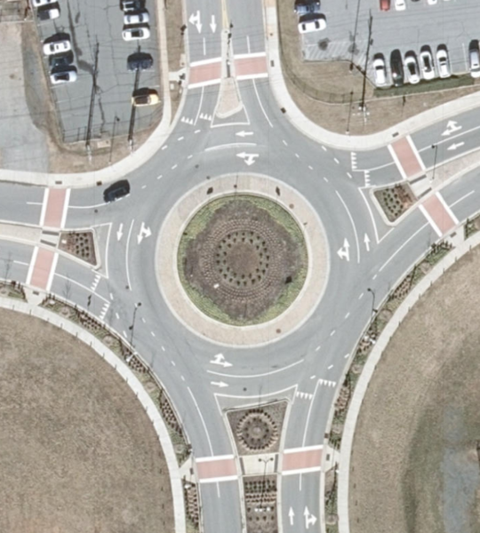
Shown in NC Latest Orthoimagery, public domain.
Source:
https://nconemap.maps.arcgis.com/apps/webappviewer/index.html?id=2c8a9b366c4841f1be2b464347d04a2b - Layer "Preview 2018 imagery"
Attribution from source: Maxar, Microsoft | State of North Carolina DOT, Esri, HERE, Garmin, GeoTechnologies, Inc.
File history
Click on a date/time to view the file as it appeared at that time.
| Date/Time | Thumbnail | Dimensions | User | Comment | |
|---|---|---|---|---|---|
| current | 14:36, 18 April 2019 | | 705 × 783 (1.09 MB) | LeifRasmussen (talk | contribs) |
You cannot overwrite this file.
File usage
There are no pages that use this file.