File:Aire de Bourg-Teyssonge - Douches (juil 2018).jpg
Jump to navigation
Jump to search


Size of this preview: 448 × 599 pixels. Other resolutions: 179 × 240 pixels | 359 × 480 pixels | 574 × 768 pixels | 766 × 1,024 pixels | 1,532 × 2,048 pixels | 3,016 × 4,032 pixels.
Original file (3,016 × 4,032 pixels, file size: 2.69 MB, MIME type: image/jpeg)
This file and its description are from Wikimedia Commons.
Summary
| Description |
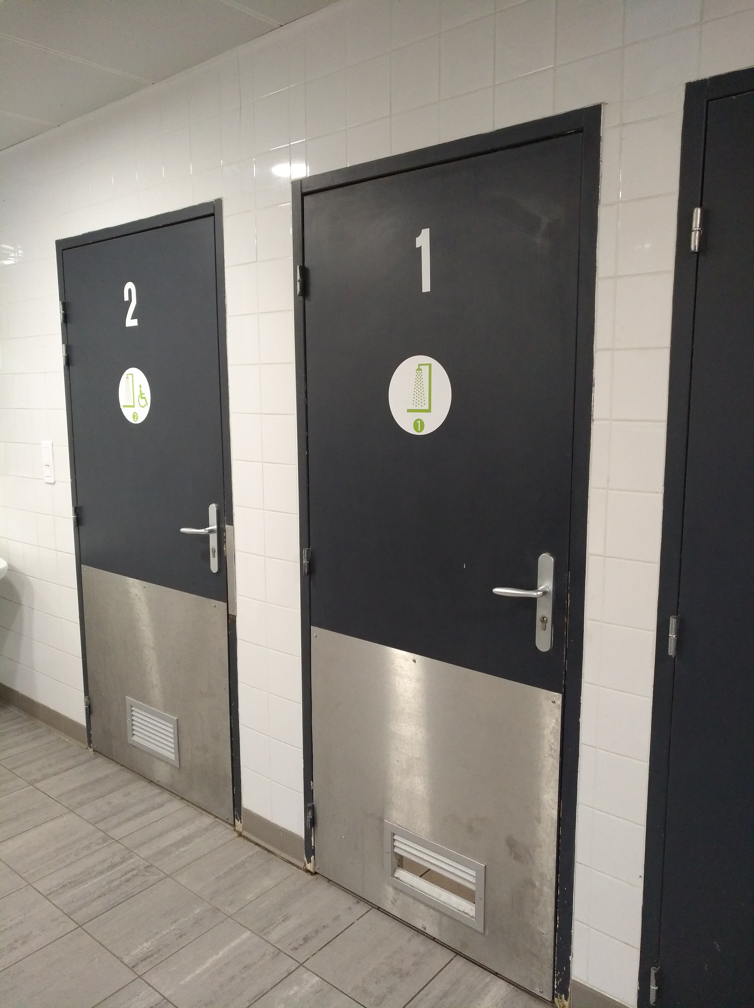
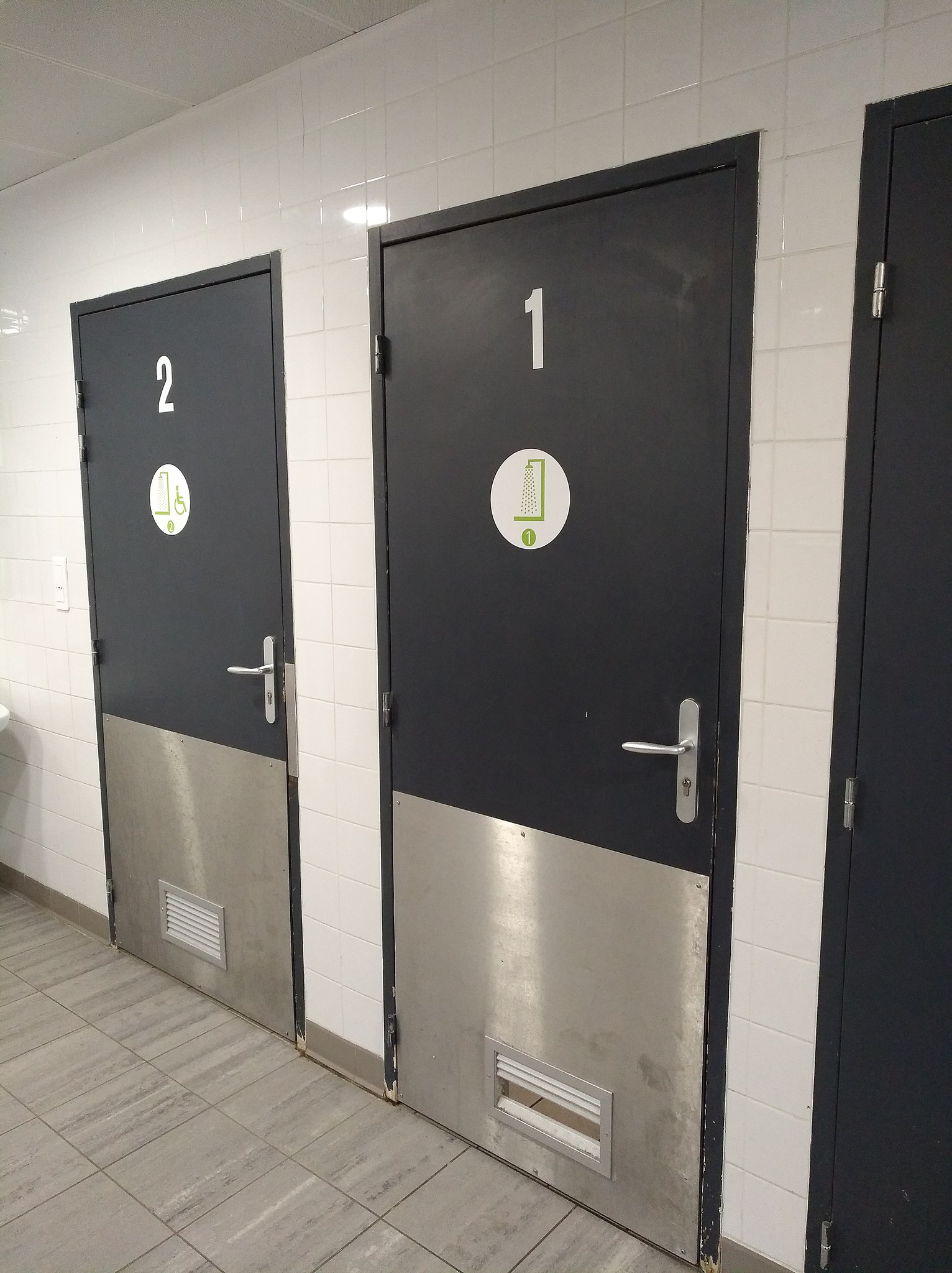
Français : Douches sur l'aire de Bourg-Teyssonge, sur l'autoroute A40 (commune de Jasseron, Ain, France). |
| Date | |
| Source | Own work |
| Author | Sebleouf |
| Camera location | | View this and other nearby images on: OpenStreetMap |
|---|
.jpg¶ms=046.204429_N_0005.294760_E_globe:Earth_type:camera__&language=en)
Licensing
I, the copyright holder of this work, hereby publish it under the following license:
This file is licensed under the Creative Commons Attribution-Share Alike 4.0 International license.
- You are free:
- to share – to copy, distribute and transmit the work
- to remix – to adapt the work
- Under the following conditions:
- attribution – You must give appropriate credit, provide a link to the license, and indicate if changes were made. You may do so in any reasonable manner, but not in any way that suggests the licensor endorses you or your use.
- share alike – If you remix, transform, or build upon the material, you must distribute your contributions under the same or compatible license as the original.
This picture as been uploaded as part of L'Été des régions Wikipédia.
|
File history
Click on a date/time to view the file as it appeared at that time.
| Date/Time | Thumbnail | Dimensions | User | Comment | |
|---|---|---|---|---|---|
| current | 18:17, 23 July 2018 | | 3,016 × 4,032 (2.69 MB) | wikimediacommons>Sebleouf | User created page with UploadWizard |
File usage
The following 3 pages use this file:
.jpg)