File:AlmaRoadRedevelopment.png
Jump to navigation
Jump to search
Size of this preview: 430 × 599 pixels. Other resolutions: 172 × 240 pixels | 345 × 480 pixels | 647 × 901 pixels.
Original file (647 × 901 pixels, file size: 502 KB, MIME type: image/png)
Summary
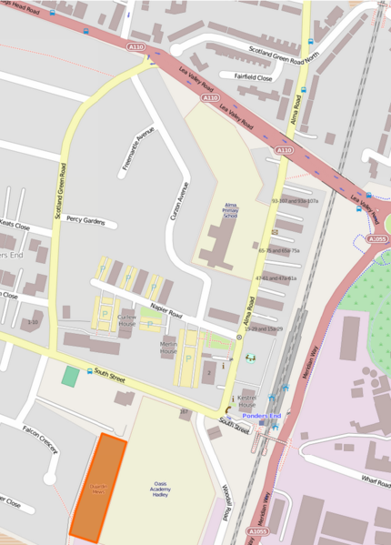
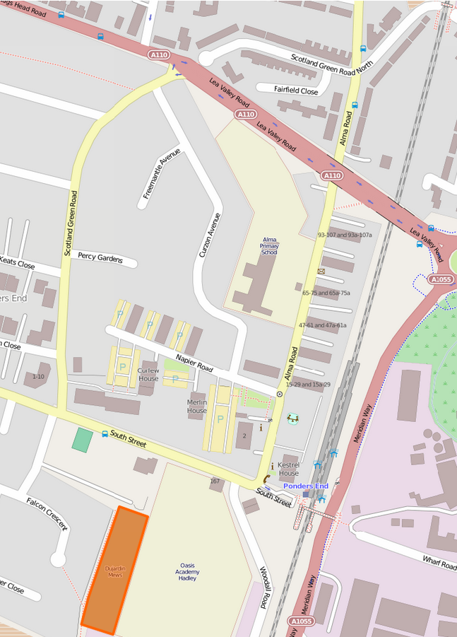
Alma Road Redevelopment -- the relevant map area (extracted August 2014)
Licensing
![]()
![]()
This screenshot contains OpenStreetMap Carto rendering.
The OpenStreetMap Carto map style is made available under the Creative Commons CC-0 1.0 Universal Public Domain Dedication.
- Attribution to the map data:
| Contains map data © OpenStreetMap contributors, made available under the terms of the Open Database License (ODbL).
The ODbL does not require any particular license for maps produced from ODbL data, produced maps may be subject also to other licences. |
File history
Click on a date/time to view the file as it appeared at that time.
| Date/Time | Thumbnail | Dimensions | User | Comment | |
|---|---|---|---|---|---|
| current | 12:00, 5 August 2014 | | 647 × 901 (502 KB) | Harg (talk | contribs) | Alma Road -- the relevant map area (extracted August 2014) |
You cannot overwrite this file.
File usage
The following page uses this file: