File:Aschaffenburg-tah.png
Jump to navigation
Jump to search
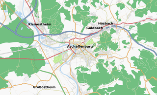
Size of this preview: 800 × 488 pixels. Other resolutions: 320 × 195 pixels | 640 × 391 pixels | 950 × 580 pixels.
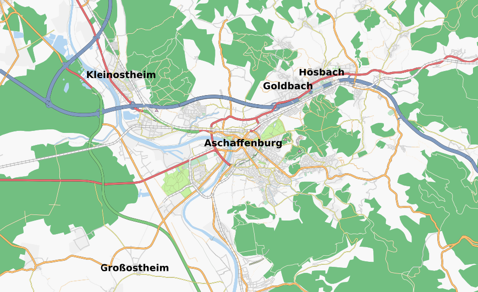
Original file (950 × 580 pixels, file size: 413 KB, MIME type: image/png)
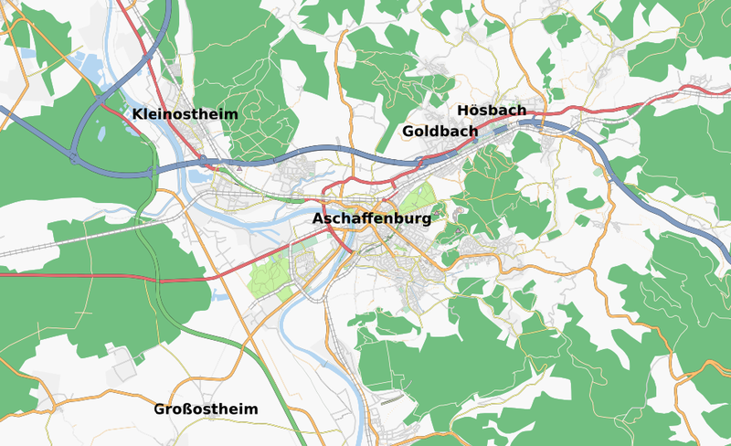
Screenshot showing Aschaffenburg using informationfreeway and TAH layer
If you want to update this picture, please use this URL: http://tah.openstreetmap.org/MapOf/?lat=49.974&long=9.146&z=12&w=950&h=580&format=png
Licensing
![]()
Contains map data © OpenStreetMap contributors, made available under the terms of the Creative Commons Attribution-ShareAlike 2.0 (CC-BY-SA-2.0).
File history
Click on a date/time to view the file as it appeared at that time.
| Date/Time | Thumbnail | Dimensions | User | Comment | |
|---|---|---|---|---|---|
| current | 08:09, 1 June 2008 | | 950 × 580 (413 KB) | Jannis (talk | contribs) | updated |
| 13:05, 30 April 2008 | 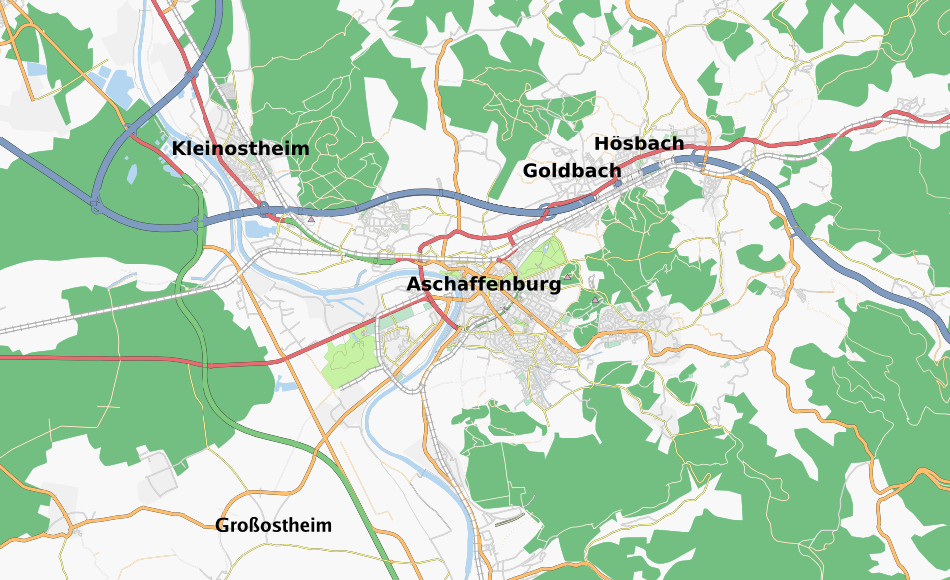 | 950 × 580 (445 KB) | Jannis (talk | contribs) | just a small update | |
| 15:53, 25 March 2008 | 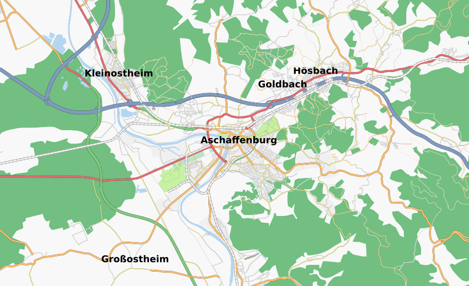 | 950 × 580 (368 KB) | Jannis (talk | contribs) | ||
| 15:03, 19 March 2008 | 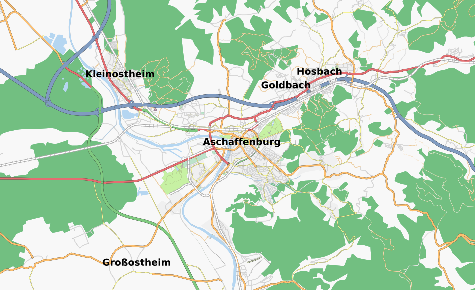 | 950 × 580 (368 KB) | Jannis (talk | contribs) | UPDATED, created using this URL: http://tah.openstreetmap.org/MapOf/?lat=49.974&long=9.146&z=12&w=950&h=580&format=png (URL given as reference for future updates) | |
| 23:27, 18 February 2008 | 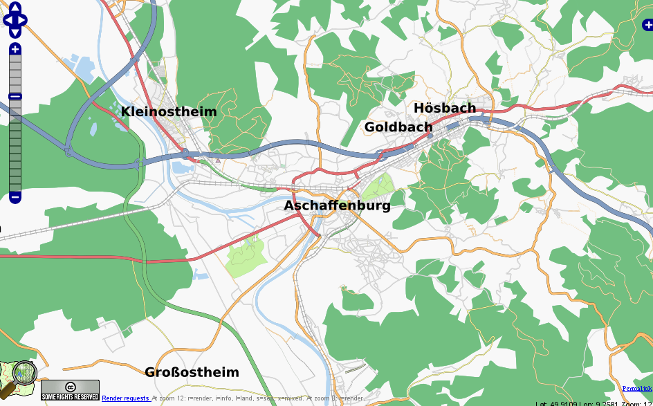 | 944 × 587 (281 KB) | Jannis (talk | contribs) | ||
| 11:49, 5 October 2007 | 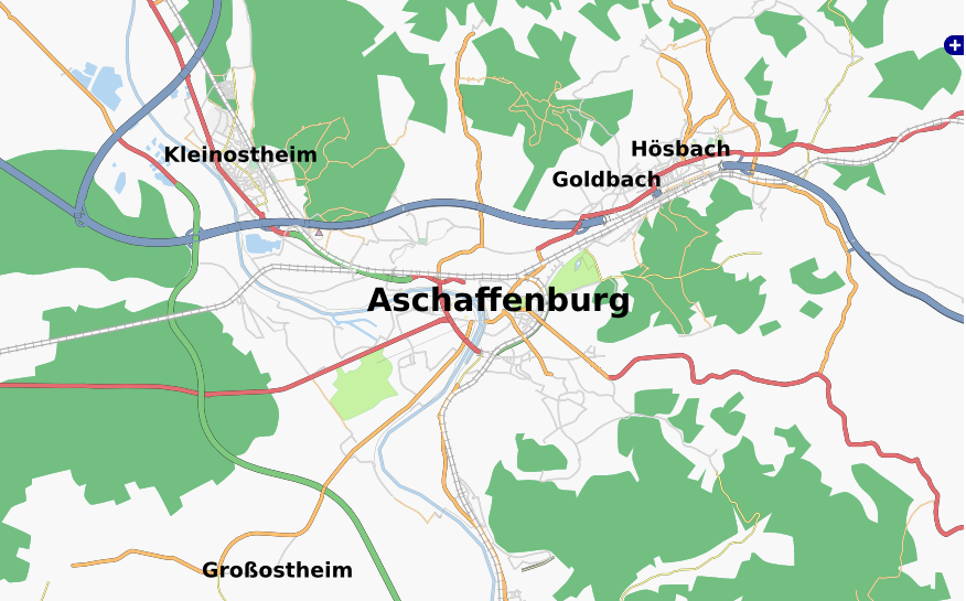 | 876 × 545 (244 KB) | Jannis (talk | contribs) | Screenshot showing Aschaffenburg using informationfreeway and TAH layer |
You cannot overwrite this file.
File usage
There are no pages that use this file.