File:Brussels-20061122.png
Jump to navigation
Jump to search
Size of this preview: 600 × 600 pixels. Other resolutions: 240 × 240 pixels | 480 × 480 pixels | 768 × 768 pixels | 1,024 × 1,024 pixels | 2,048 × 2,048 pixels | 3,000 × 3,000 pixels.
Original file (3,000 × 3,000 pixels, file size: 636 KB, MIME type: image/png)
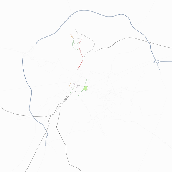
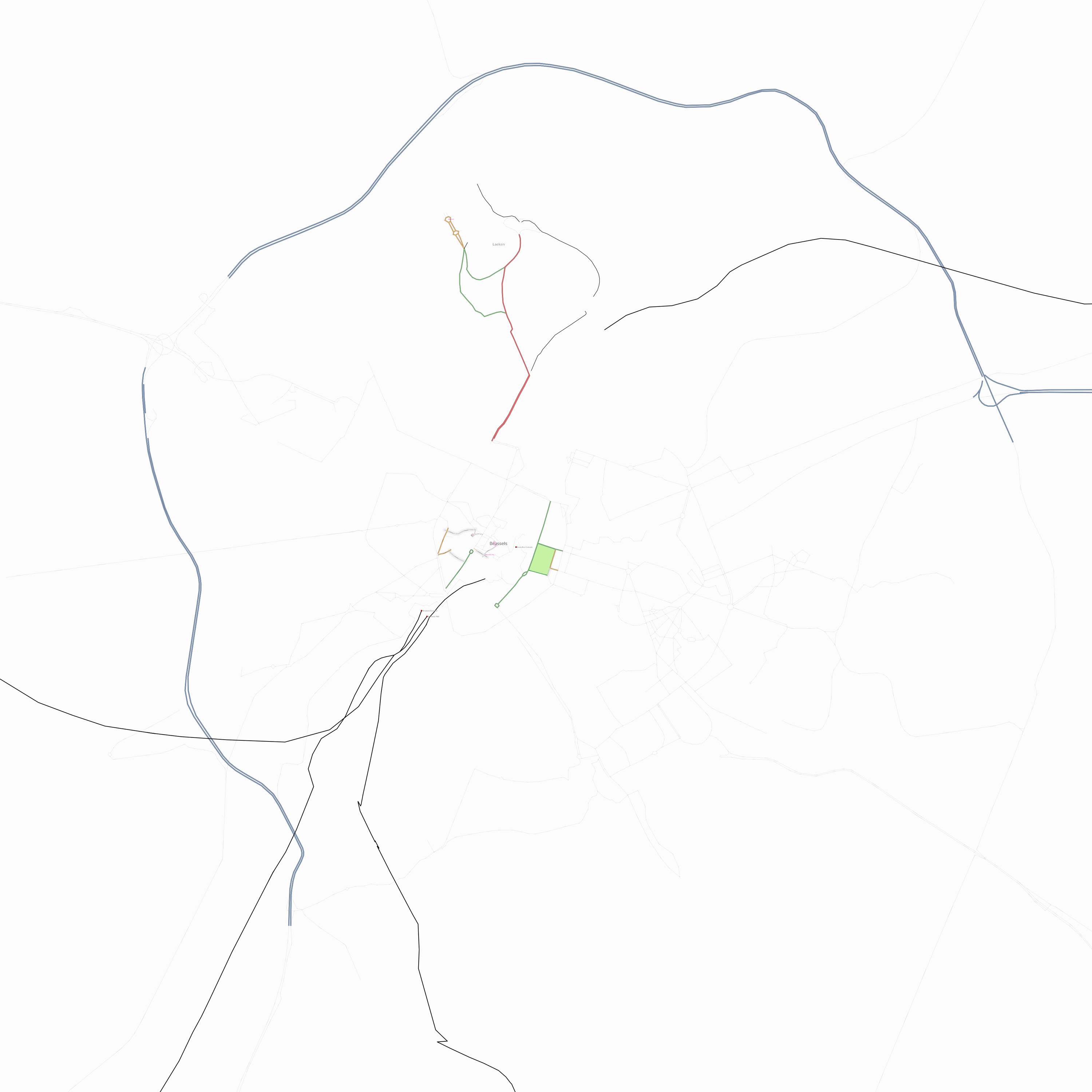
Status of the Brussels Capital Region on 2006-11-22.
![]()
Contains map data © OpenStreetMap contributors, made available under the terms of the Creative Commons Attribution-ShareAlike 2.0 (CC-BY-SA-2.0).
File history
Click on a date/time to view the file as it appeared at that time.
| Date/Time | Thumbnail | Dimensions | User | Comment | |
|---|---|---|---|---|---|
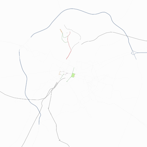
| current | 22:23, 22 November 2006 | | 3,000 × 3,000 (636 KB) | Cimm (talk | contribs) | Downscaled version |
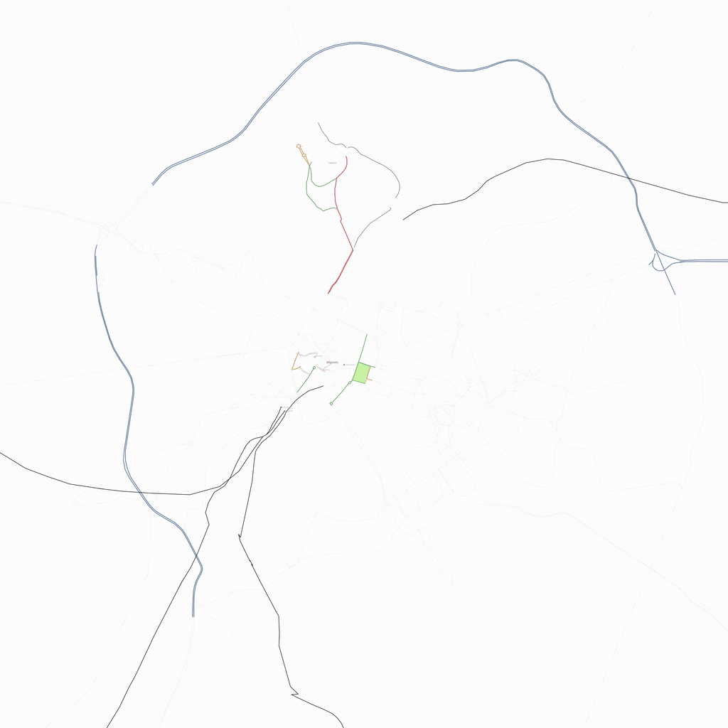
| 21:35, 22 November 2006 | 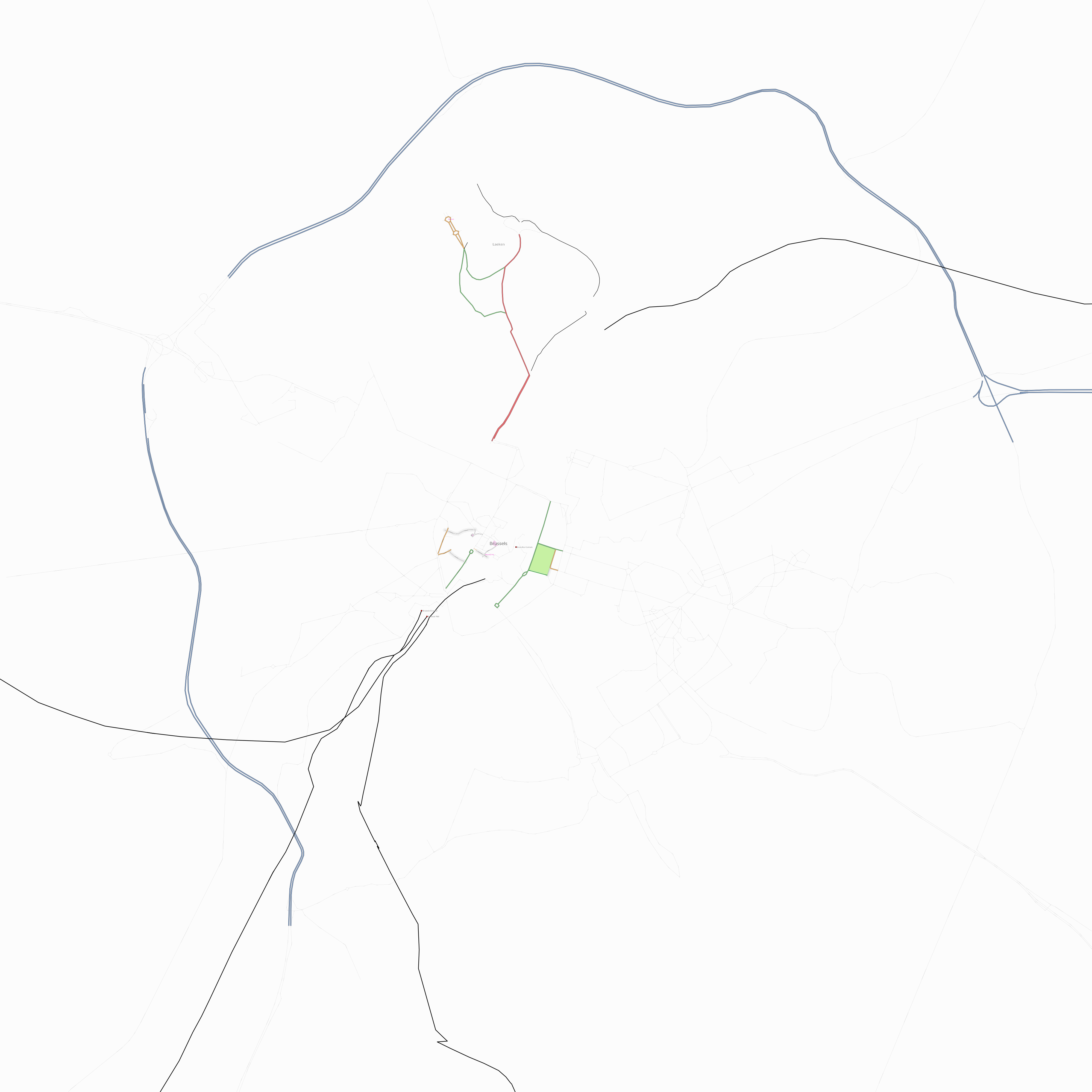 | 3,996 × 3,996 (708 KB) | Cimm (talk | contribs) | Status update |
You cannot overwrite this file.
File usage
The following page uses this file: