File:Catalanpng.png
Jump to navigation
Jump to search

Size of this preview: 800 × 415 pixels. Other resolutions: 320 × 166 pixels | 640 × 332 pixels | 1,280 × 664 pixels.
Original file (1,280 × 664 pixels, file size: 450 KB, MIME type: image/png)
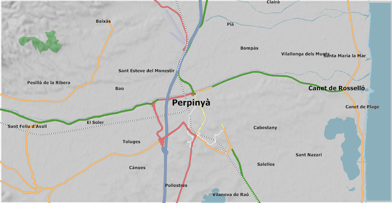
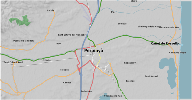
Map of the area around Perpignan in Catalan.
File history
Click on a date/time to view the file as it appeared at that time.
| Date/Time | Thumbnail | Dimensions | User | Comment | |
|---|---|---|---|---|---|
| current | 00:01, 10 February 2008 | | 1,280 × 664 (450 KB) | Skywave (talk | contribs) | |
| 21:41, 8 February 2008 |  | 1,280 × 664 (495 KB) | Skywave (talk | contribs) | ||
| 21:41, 8 February 2008 | 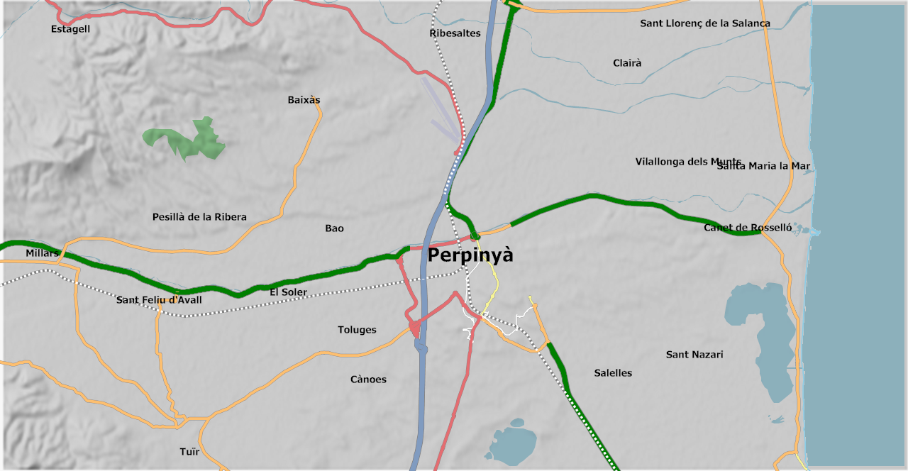 | 1,280 × 664 (495 KB) | Skywave (talk | contribs) | ||
| 21:32, 8 February 2008 | 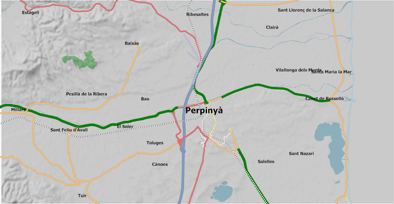 | 1,280 × 664 (495 KB) | Skywave (talk | contribs) | Map of the area around Perpignan in Catalan |
You cannot overwrite this file.
File usage
The following page uses this file: