File:Dürnbach.jpg
Jump to navigation
Jump to search


Size of this preview: 800 × 600 pixels. Other resolutions: 320 × 240 pixels | 640 × 480 pixels | 1,024 × 768 pixels | 1,280 × 960 pixels | 2,016 × 1,512 pixels.
Original file (2,016 × 1,512 pixels, file size: 750 KB, MIME type: image/jpeg)
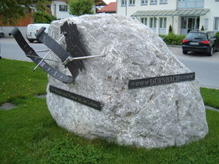
φ 47° 45' 34" Dürnbach α 11° 44' 08"
File history
Click on a date/time to view the file as it appeared at that time.
| Date/Time | Thumbnail | Dimensions | User | Comment | |
|---|---|---|---|---|---|
| current | 19:44, 16 May 2009 | | 2,016 × 1,512 (750 KB) | Abunai (talk | contribs) | φ 47° 45' 34" Dürnbach α 11° 44' 08" |
You cannot overwrite this file.
File usage
The following page uses this file: