File:Danmark mapnik 29 jan 2010.png
Jump to navigation
Jump to search

Size of this preview: 497 × 600 pixels. Other resolutions: 199 × 240 pixels | 398 × 480 pixels | 636 × 768 pixels | 1,103 × 1,331 pixels.
Original file (1,103 × 1,331 pixels, file size: 452 KB, MIME type: image/png)
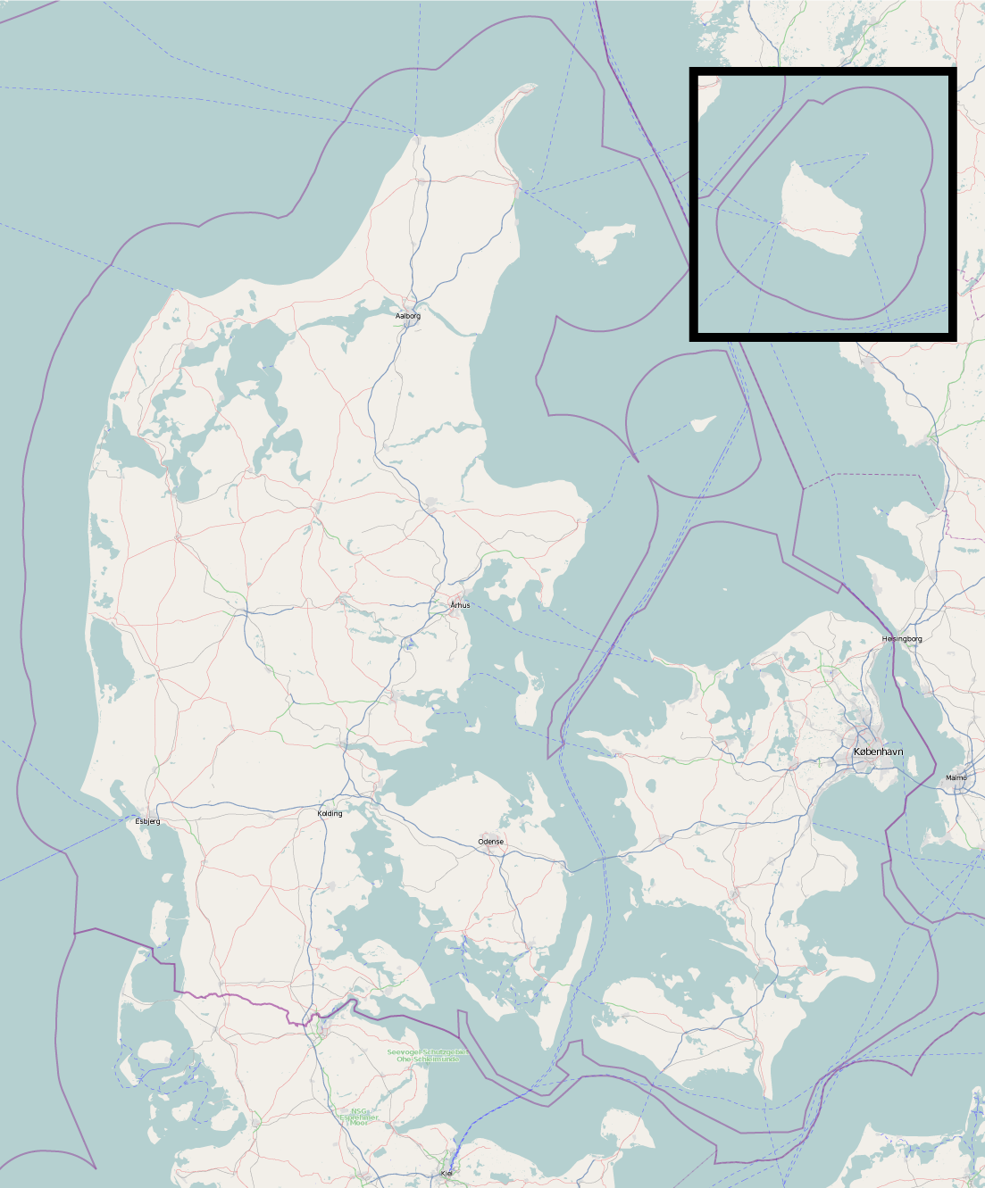
Danmark mapnik figur 29 jan. 2010. Figuren er i målestoksforhold 1:2000000 og Danmark er afgrænset som [54.27 - 58]+[7.62 - 13.17]
![]()
Contains map data © OpenStreetMap contributors, made available under the terms of the Creative Commons Attribution-ShareAlike 2.0 (CC-BY-SA-2.0).
File history
Click on a date/time to view the file as it appeared at that time.
| Date/Time | Thumbnail | Dimensions | User | Comment | |
|---|---|---|---|---|---|
| current | 12:29, 29 January 2010 | | 1,103 × 1,331 (452 KB) | Rasmusv (talk | contribs) | Danmark mapnik figur 29 jan. 2010. Figuren er i målestoksforhold 1:2000000 og Danmark er afgrænset som [54.27 - 58]+[7.62 - 13.17] |
You cannot overwrite this file.
File usage
The following page uses this file: