File:Dopravní hřiště Zahradní Město 1.jpg
Jump to navigation
Jump to search

Size of this preview: 800 × 600 pixels. Other resolutions: 320 × 240 pixels | 640 × 480 pixels | 1,024 × 768 pixels | 1,280 × 960 pixels | 2,048 × 1,536 pixels.
Original file (2,048 × 1,536 pixels, file size: 580 KB, MIME type: image/jpeg)
This file and its description are from Wikimedia Commons.
| Description |
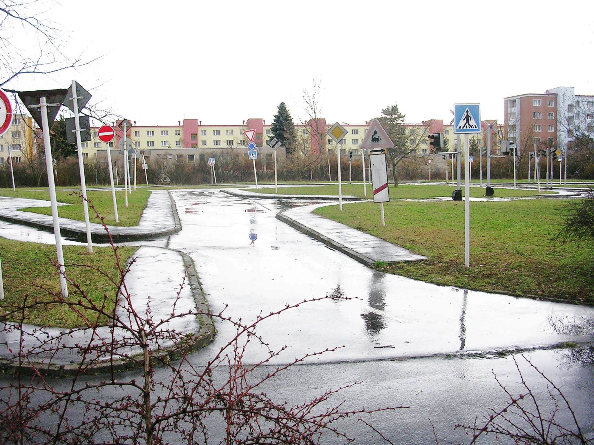
Čeština: Praha, Zahradní Město: dopravní hřiště
English: Traffic playground for education of children. The Czech Republic, Praha, Zahradní Město. |
||
| Date | |||
| Source | Own work | ||
| Author | ŠJů | ||
| Permission (Reusing this file) |
|
| Camera location | | View this and other nearby images on: OpenStreetMap |
|---|
File history
Click on a date/time to view the file as it appeared at that time.
| Date/Time | Thumbnail | Dimensions | User | Comment | |
|---|---|---|---|---|---|
| current | 00:44, 28 February 2009 | | 2,048 × 1,536 (580 KB) | wikimediacommons>ŠJů | colors adjusted |
File usage
The following page uses this file: