File:Doro rufugee camp map.jpeg
Jump to navigation
Jump to search

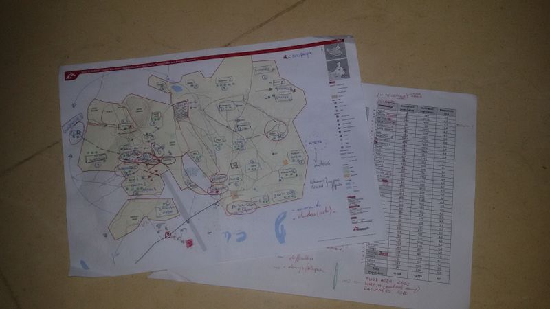
Size of this preview: 800 × 450 pixels. Other resolutions: 320 × 180 pixels | 640 × 360 pixels | 1,024 × 576 pixels | 1,280 × 720 pixels | 3,264 × 1,836 pixels.
Original file (3,264 × 1,836 pixels, file size: 1.61 MB, MIME type: image/jpeg)
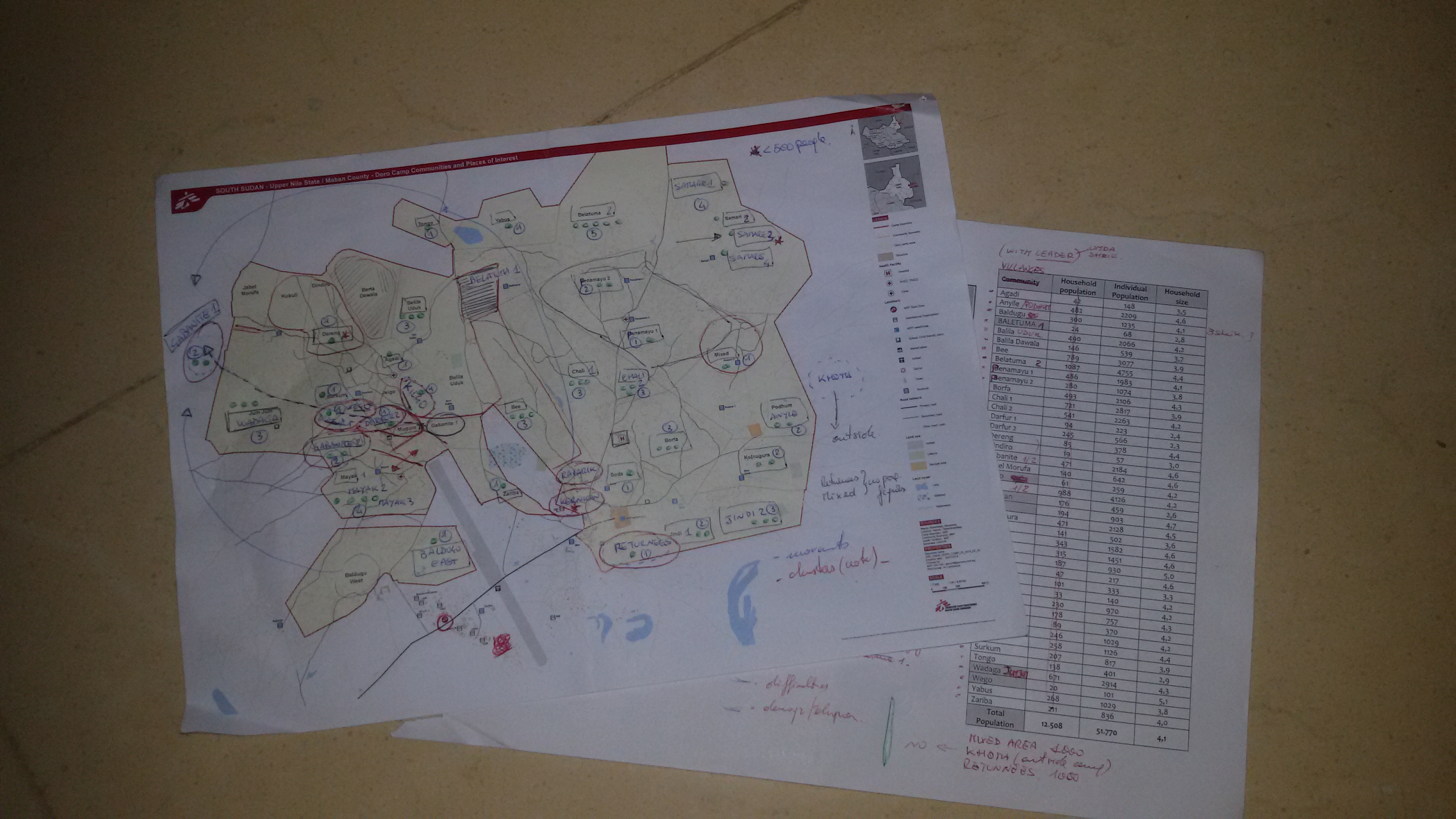
Map of Doro refugee camp, created by Missing Maps volunteers being used in the field. Photo taken by Pete Masters and made available under the Creative Commons Attribution 2.0 License.
![]()
![]()
This work is licensed under the Creative Commons Attribution 2.0 License.
Attribution not specified as a parameter! THIS LICENSE ALWAYS REQUIRES ATTRIBUTION! Use {{CC-BY-2.0|Attribution, typically name of author}} See Template:CC-BY-2.0 for full description how this template should be used.
Attribution not specified as a parameter! THIS LICENSE ALWAYS REQUIRES ATTRIBUTION! Use {{CC-BY-2.0|Attribution, typically name of author}} See Template:CC-BY-2.0 for full description how this template should be used.
File history
Click on a date/time to view the file as it appeared at that time.
| Date/Time | Thumbnail | Dimensions | User | Comment | |
|---|---|---|---|---|---|
| current | 14:48, 11 September 2015 | | 3,264 × 1,836 (1.61 MB) | Pedrito1414 (talk | contribs) | Map of Doro refugee camp, created by Missing Maps volunteers being used in the field. |
You cannot overwrite this file.
File usage
There are no pages that use this file.