File:Edinburgh-A8-A90-Drum-Brae-2006-03-29.png
Jump to navigation
Jump to search

No higher resolution available.
Edinburgh-A8-A90-Drum-Brae-2006-03-29.png (667 × 542 pixels, file size: 83 KB, MIME type: image/png)
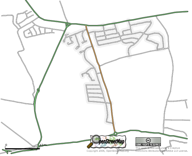
Part of Edinburgh. The area roughly deliniated by the A90 to the north and the A8 to the South with the Maybury Road (west), Drum Brae (middle) and Clermiston Road (east) (which run in a north-south direction)
![]()
Contains map data © OpenStreetMap contributors, made available under the terms of the Creative Commons Attribution-ShareAlike 2.0 (CC-BY-SA-2.0).
File history
Click on a date/time to view the file as it appeared at that time.
| Date/Time | Thumbnail | Dimensions | User | Comment | |
|---|---|---|---|---|---|
| current | 17:31, 29 March 2006 | | 667 × 542 (83 KB) | Colin Angus Mackay (talk | contribs) | Part of Edinburgh. The area roughly deliniated by the A90 to the north and the A8 to the South with the Maybury Road (west), Drum Brae (middle) and Clermiston Road (east) (which run in a north-south direction) |
You cannot overwrite this file.
File usage
The following page uses this file: