File:Fraeylemaborg Slochteren.jpg
Jump to navigation
Jump to search


Size of this preview: 800 × 600 pixels. Other resolutions: 320 × 240 pixels | 640 × 480 pixels | 1,024 × 768 pixels | 1,296 × 972 pixels.
Original file (1,296 × 972 pixels, file size: 247 KB, MIME type: image/jpeg)
This file and its description are from Wikimedia Commons.
Summary
| Description |
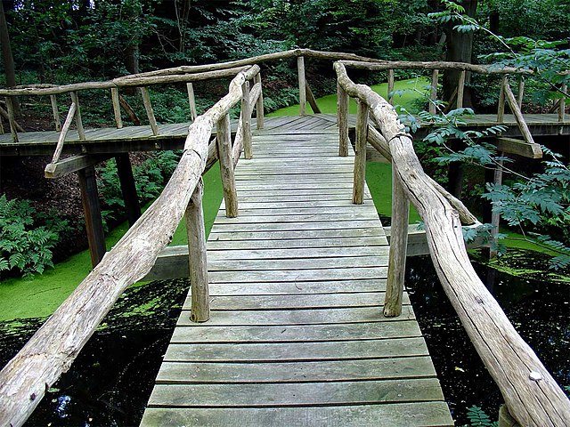
Nederlands: Landgoed van de Fraeylemaborg (Slochteren) ontworpen door Lucas Pieters Roodbaard
|
||||
| Date | |||||
| Source | Own work | ||||
| Author | Gouwenaar |
| Object location | | View this and other nearby images on: OpenStreetMap |
|---|
Licensing
| This work has been released into the public domain by its author, I, Gouwenaar. This applies worldwide. In some countries this may not be legally possible; if so: I, Gouwenaar grants anyone the right to use this work for any purpose, without any conditions, unless such conditions are required by law. |
File history
Click on a date/time to view the file as it appeared at that time.
| Date/Time | Thumbnail | Dimensions | User | Comment | |
|---|---|---|---|---|---|
| current | 20:00, 27 July 2007 | | 1,296 × 972 (247 KB) | wikimediacommons>Gouwenaar | {{Information |Description= Landgoed van de Fraeylemaborg (Slochteren) ontworpen door Lucas Pieters Roodbaard |Source= eigen foto (own photo) |Date= 27 juli 2007 |Author= Gouwenaar |Permission= |other_versions= }} Category:Slochteren Category:Parks in th |
File usage
The following 2 pages use this file: