File:GCP placement example.jpg
Jump to navigation
Jump to search

Size of this preview: 450 × 600 pixels. Other resolutions: 180 × 240 pixels | 360 × 480 pixels | 576 × 768 pixels | 768 × 1,024 pixels | 1,536 × 2,048 pixels | 3,096 × 4,128 pixels.
Original file (3,096 × 4,128 pixels, file size: 9.79 MB, MIME type: image/jpeg)
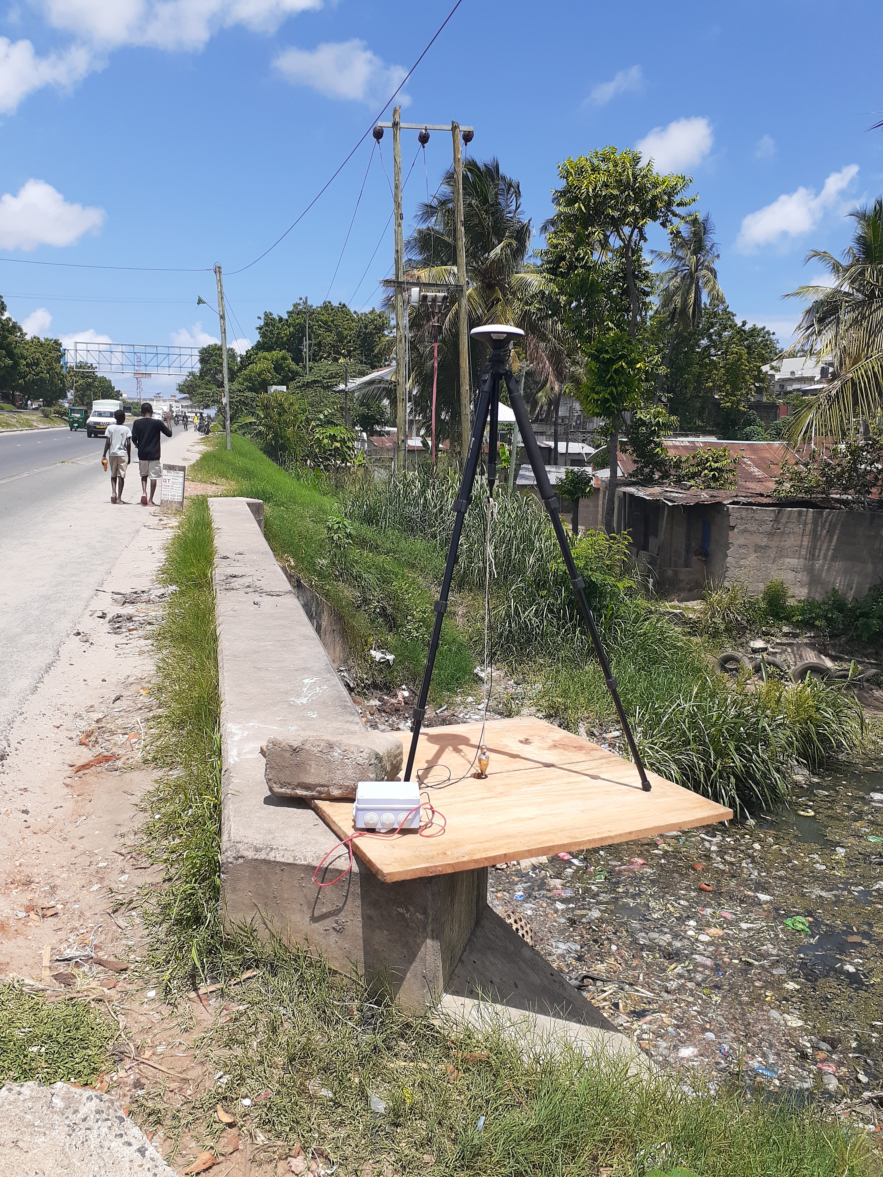
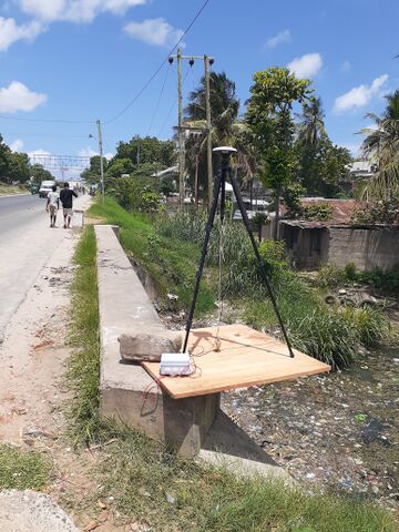
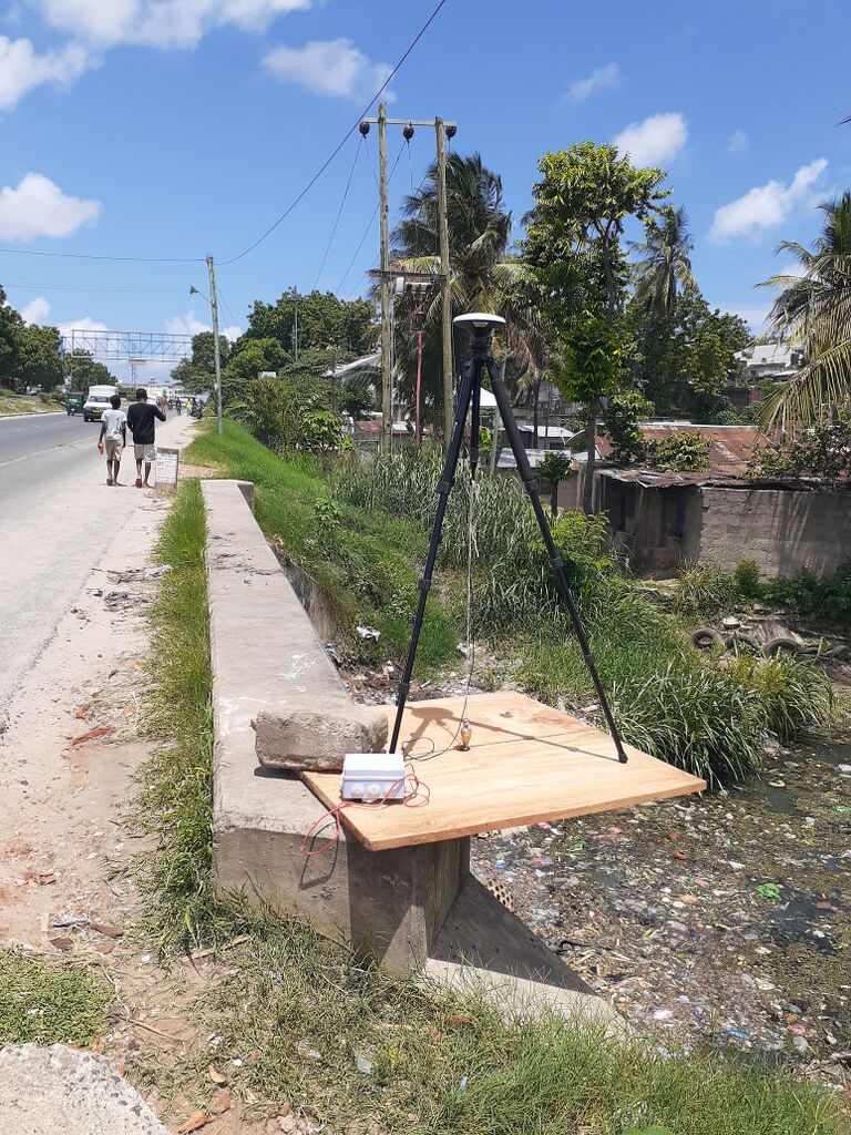
A photograph of a concrete feature with a GNSS antenna on a tripod on it as a Ground Control Point is being recorded.
File history
Click on a date/time to view the file as it appeared at that time.
| Date/Time | Thumbnail | Dimensions | User | Comment | |
|---|---|---|---|---|---|
| current | 04:57, 13 October 2020 | | 3,096 × 4,128 (9.79 MB) | Ivangayton (talk | contribs) |
You cannot overwrite this file.
File usage
There are no pages that use this file.